
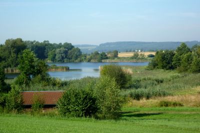
Feuchtgebiete um Bad Schussenried, protected area in the European Union defined by the habitats directive in Baden-Württemberg, Germany
Location: Biberach district
Location: Landkreis Ravensburg
Inception: 2004
GPS coordinates: 47.98250,9.66583
Latest update: March 7, 2025 04:02
Sanctuary Steinhausen
5.6 km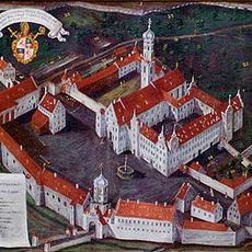
Schussenried Abbey
2.8 km
Erwin Hymer Museum
8.7 km
Oberschwäbisches Museumsdorf Kürnbach
1.3 km
Schloss Aulendorf
3.8 km
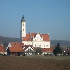
St. Georg
7.5 km
Pfarrkirche St. Magnus
2.8 km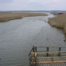
Wasserburg Buchau
8.8 km
Pfarrkirche St. Martin
3.7 km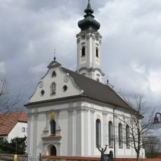
Pfarrkirche St. Oswald (Otterswang)
1.7 km
Burg Winterstetten
6 km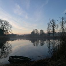
Haslacher Weiher
2.9 km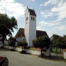
Zum Heiligen Kreuz
7.6 km
Rief-Haus
6.3 km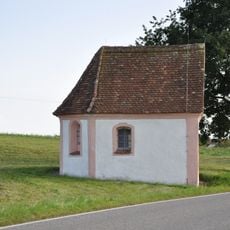
Kapelle St. Leonhard
4.9 km
Wildes Ried
7.7 km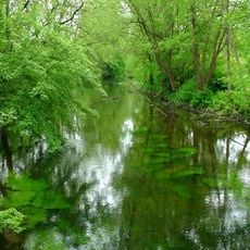
Umlachtal und Riß südlich Biberach
8.7 km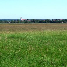
Südliches Federseeried
8.4 km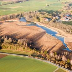
Vogelfreistätte Lindenweiher
8 km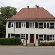
Pfarrhaus (Winterstettendorf)
5.3 km
Interior of Klosterbibliothek Schussenried
2.8 km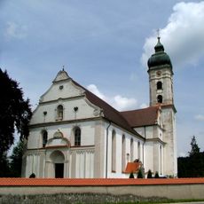
Pfarrkirche St. Martin
8.2 km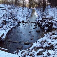
Schussenquelle
4.4 km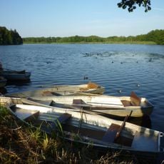
Schwaigfurter Weiher
100 m
Eiche bei der Kirche
7.6 km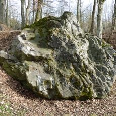
Glacial erratics in Bad Schussenried
4.6 km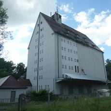
Silo Aulendorf
4.7 km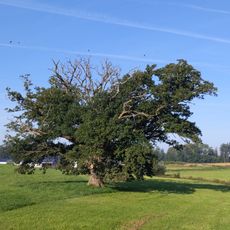
Stieleiche w. Reichertshaus
8.8 kmReviews
Visited this place? Tap the stars to rate it and share your experience / photos with the community! Try now! You can cancel it anytime.
Discover hidden gems everywhere you go!
From secret cafés to breathtaking viewpoints, skip the crowded tourist spots and find places that match your style. Our app makes it easy with voice search, smart filtering, route optimization, and insider tips from travelers worldwide. Download now for the complete mobile experience.

A unique approach to discovering new places❞
— Le Figaro
All the places worth exploring❞
— France Info
A tailor-made excursion in just a few clicks❞
— 20 Minutes