
Hessisch Oldendorf, human settlement in Germany
Location: Hessisch Oldendorf
Elevation above the sea: 68 m
GPS coordinates: 52.17278,9.24917
Latest update: March 2, 2025 21:10
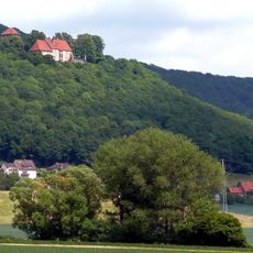
Schaumburg Castle, Lower Saxony
4.6 km
Fischbeck Abbey
4.8 km
Hohenstein
5.3 km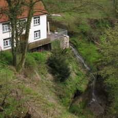
Langenfelder Wasserfall
5.1 km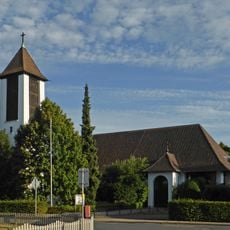
St. Bonifatius
251 m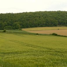
Amelungsburg
3.3 km
St. Katharina
6.2 km
St. Maria
4.1 km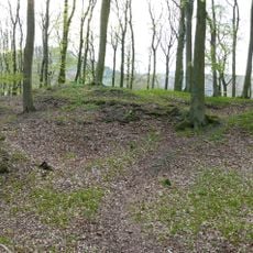
Burg Roden
3.1 km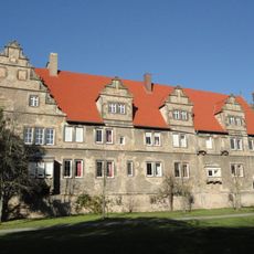
Münchhausenhof
691 m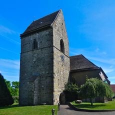
St. Eligius Kirche
7.4 km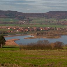
Auenlandschaft Hohenrode
6.9 km
Burg Hohenrode
6.4 km
Hohenstein
5 km
Heineburg
6.4 km
Osterburg
6.7 km
Churches in Hessisch Oldendorf
507 m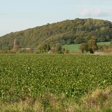
Heineberg
6.5 km
Aher Kämpe
8.4 km
Johannes-der-Täufer-Kirche
2.4 km
Jewish cemetery, Hessisch Oldendorf
971 m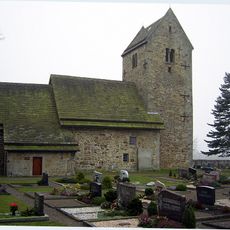
St. Katharina
7.6 km
Waldbad Halvestorf
8 km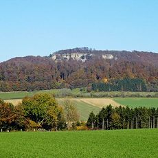
Uhu-Brutplätze im Weserbergland
3.8 km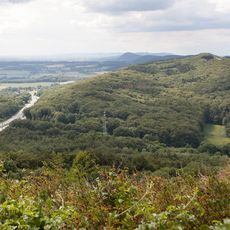
Wesergebirge
5.9 km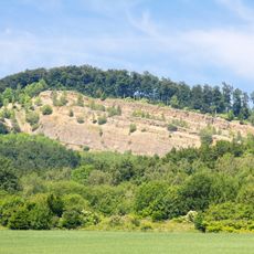
Hessisch Oldendorfer Wesertal/Nord
4.4 km
Süntel, Wesergebirge, Deister
6.4 km
Hohenstein
6 kmReviews
Visited this place? Tap the stars to rate it and share your experience / photos with the community! Try now! You can cancel it anytime.
Discover hidden gems everywhere you go!
From secret cafés to breathtaking viewpoints, skip the crowded tourist spots and find places that match your style. Our app makes it easy with voice search, smart filtering, route optimization, and insider tips from travelers worldwide. Download now for the complete mobile experience.

A unique approach to discovering new places❞
— Le Figaro
All the places worth exploring❞
— France Info
A tailor-made excursion in just a few clicks❞
— 20 Minutes