
Ehemaliges Gasthaus, building in Neukirchen beim Heiligen Blut, Upper Palatinate, Germany
Location: Neukirchen beim Heiligen Blut
Address: Hauptstraße 35
GPS coordinates: 49.24770,13.04716
Latest update: September 27, 2025 12:11
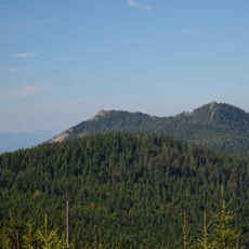
Osser
6.7 km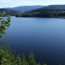
Údolní nádrž Nýrsko
7.3 km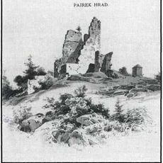
Pajrek
7.3 km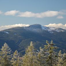
Großer Osser
6.7 km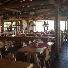
Berghaus Hohenbogen
7.6 km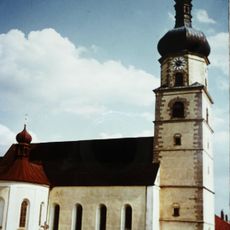
Mariä Geburt zum Heiligen Blut
6.1 km
Franziskanerkloster (Neukirchen beim Heiligen Blut)
6 km
Moorgebiet bei Arrach
6.5 km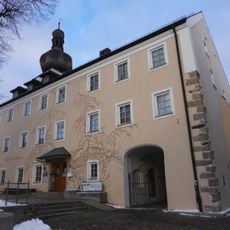
Kirchenburg Neukirchen beim Heiligen Blut
5.7 km
Chodská Úhlava
6.7 km
Svatý Bernard
6.8 km
U Radošína
4.4 km
Chudenínská lípa
6.2 km
Großer Osser
6.7 km
St. Ulrich
5.7 km
Herz Jesu (Warzenried)
7.7 km
Ossersattel
5.4 km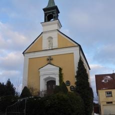
Katholische Neben- und Marktkirche St. Nikolaus, ehemalige Schlosskapelle St. Johannes
5.7 km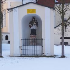
Kapellennische
6 km
Wallfahrtsmuseum
5.7 km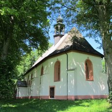
Church of Saint Leonard in Uhliště
4.8 km
Chapel of Virgin Mary
6.3 km
Mariensäule und Kriegerdenkmal
5.6 km
Ensemble Marktplatz
5.7 km
Bayerwald Handwerksmuseum Arrach
7 km
Arracher Moor
6.6 km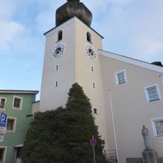
Marktturm
5.7 km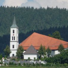
St. Wolfgang
5.9 kmReviews
Visited this place? Tap the stars to rate it and share your experience / photos with the community! Try now! You can cancel it anytime.
Discover hidden gems everywhere you go!
From secret cafés to breathtaking viewpoints, skip the crowded tourist spots and find places that match your style. Our app makes it easy with voice search, smart filtering, route optimization, and insider tips from travelers worldwide. Download now for the complete mobile experience.

A unique approach to discovering new places❞
— Le Figaro
All the places worth exploring❞
— France Info
A tailor-made excursion in just a few clicks❞
— 20 Minutes