
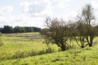
Schwartautal und Curauer Moor, protected area in the European Union defined by the habitats directive in Schleswig-Holstein, Germany
Location: Ostholstein
Inception: 2004
GPS coordinates: 53.99260,10.66798
Latest update: March 3, 2025 01:45
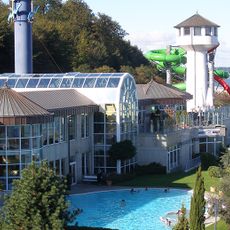
Ostseetherme
7 km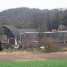
Garkau Estate
4.1 km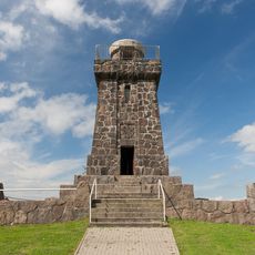
Bismarcksäule
5.5 km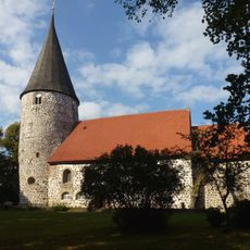
Vicelinkirche (Ratekau)
6.6 km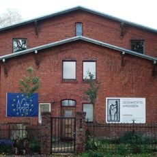
Gedenkstätte Ahrensbök
6.1 km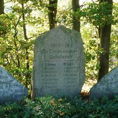
Pariner Berg
5.4 km
Burg im Riesebusch
6.8 km
Ahrensbök Charterhouse
6.7 km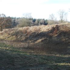
Blocksberg
1.6 km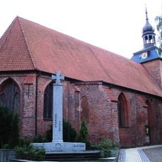
Marienkirche
6.5 km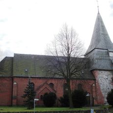
Church in Gleschendorf
4 km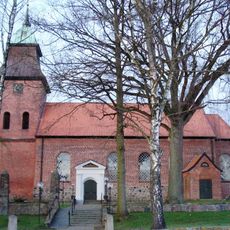
Dorfkirche Curau
5.7 km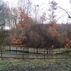
Burg Havekost
4.3 km
Strandkirche
7.1 km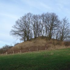
Grellberg
3.6 km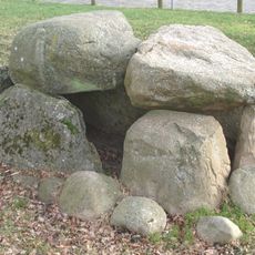
Steinkiste von Ratekau
6.6 km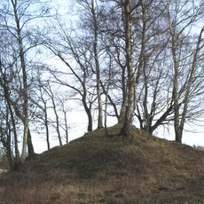
Grabhügel bei Pansdorf
2.8 km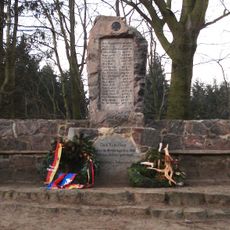
Grabhügel auf dem Vierth
3.6 km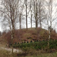
Hans-Moor-Berg
2.8 km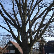
Wilhelmseiche
6.6 km
Kirche mit Ausstattung
5.6 km
Ruppersdorfer See
6 km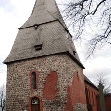
Kirche mit Ausstattung
4 km
Grellberg
3.5 km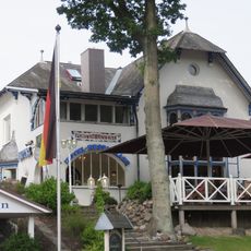
Villa Grisebach
7.2 km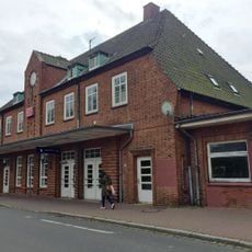
Bahnhofsgebäude Timmendorfer Strand
6.2 km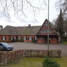
Rathaus
6.7 km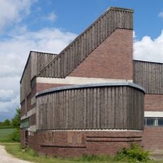
Gutsanlage
4 kmVisited this place? Tap the stars to rate it and share your experience / photos with the community! Try now! You can cancel it anytime.
Discover hidden gems everywhere you go!
From secret cafés to breathtaking viewpoints, skip the crowded tourist spots and find places that match your style. Our app makes it easy with voice search, smart filtering, route optimization, and insider tips from travelers worldwide. Download now for the complete mobile experience.

A unique approach to discovering new places❞
— Le Figaro
All the places worth exploring❞
— France Info
A tailor-made excursion in just a few clicks❞
— 20 Minutes