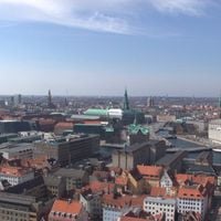
Urban area of Copenhagen, Metropolitan region in eastern Zealand, Denmark
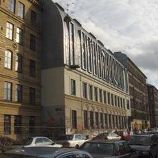
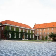
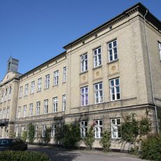
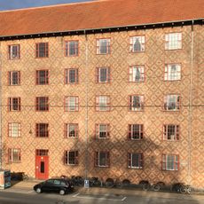
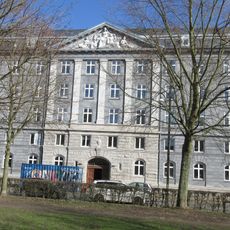
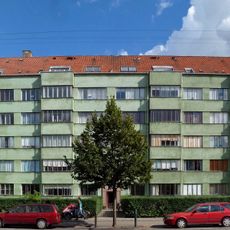
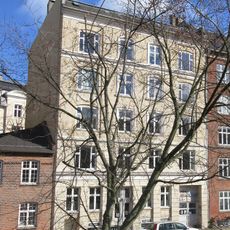
Copenhagen's urban area comprises 18 municipalities, including Copenhagen and Frederiksberg, spread across eastern Zealand. These municipalities are linked by parks, waterways, and green spaces, creating a mixed urban structure with dense city centers and more open outer zones.
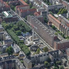
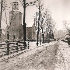
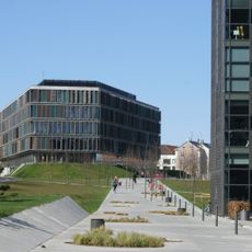
The region grew from small fishing settlements into a major urban center through deliberate planning and expansion. The 1947 Finger Plan shaped transportation networks and directed long-term growth along radial corridors extending outward.
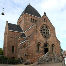
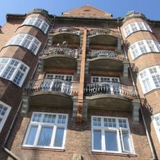
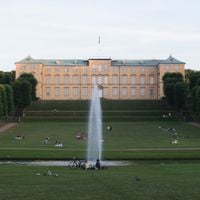
Museums, theaters, and restaurants scattered across the municipalities showcase contemporary Nordic influences while maintaining traditional Danish cultural expressions. Art galleries and cultural centers shape the character of neighborhoods and draw people to local events throughout the year.
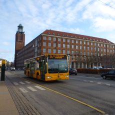
A network of metro, S-trains, and buses connects all municipalities under a unified fare system. Many areas are walkable, though distances between outer zones require using public transportation.
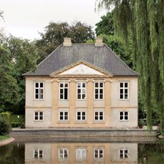
Frederiksberg remains an independent municipality completely surrounded by Copenhagen's city municipality. This geographic and administrative arrangement stands as the only case of its kind within the region's structure.
The community of curious travelers
AroundUs brings together thousands of curated places, local tips, and hidden gems, enriched daily by 60,000 contributors worldwide.