Miliana, municipality of Algeria
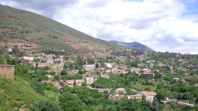
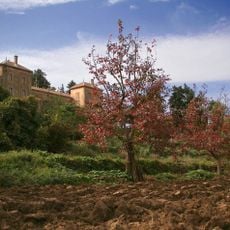
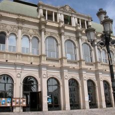
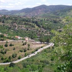
Miliana is a commune in the Ain Defla region of northern Algeria, spread across hilly terrain and connecting several residential areas. The settlement mixes traditional Arab building styles with modern structures, with markets and public squares serving as the heart of daily activity.
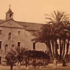
Miliana was founded as a French settlement during the colonial period and became important in local development. After independence in 1962, it developed into an administrative and commercial hub for surrounding villages.
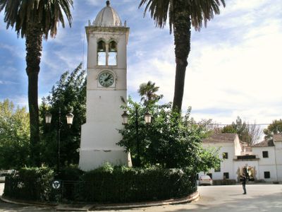
The name Miliana comes from the Arabic word for salt, reflecting the historical importance of salt production in this region. Today this heritage shapes the local architecture and customs that define everyday life here.
The best way to explore the commune is on foot through the central districts with their markets and administrative buildings. Good transit connections link this area to nearby towns, making day trips from surrounding areas quite easy.
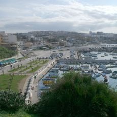
The commune is known as one of the main trading and market hubs in the Ain Defla region, drawing buyers from many surrounding villages. Weekly markets here show a lively mix of traditional crafts, farm produce, and everyday goods.
The community of curious travelers
AroundUs brings together thousands of curated places, local tips, and hidden gems, enriched daily by 60,000 contributors worldwide.