
Aïn M'lila, municipality of Algeria
Location: Aïn M'Lila District
Elevation above the sea: 771 m
GPS coordinates: 36.03667,6.57194
Latest update: May 1, 2025 22:18
Cirta
37 km
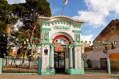
Emir Abdelkader Mosque
34.7 km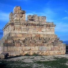
Massinissa Tomb
29.6 km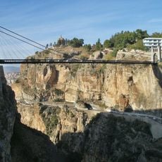
Pont Sidi M'Cid
37.6 km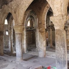
Sidi Ghanem Mosque
53.4 km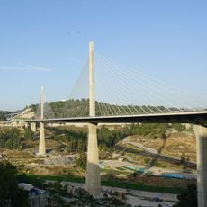
Salah Bey Viaduct
35.9 km
Pont El Kantara
37.2 km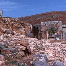
Tiddis
48.1 km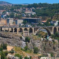
Sidi Rached Viaduct
36.5 km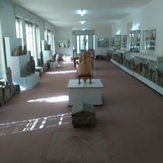
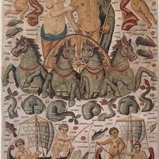
Cirta National Museum
36.5 km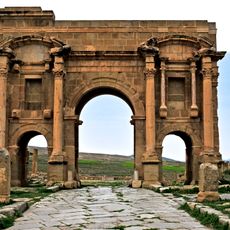
Arch of Trajan
62.1 km
Ahmed Bey Palace
37 km
Pont Mellah Slimane
36.9 km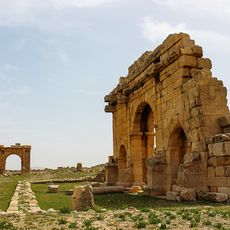
Diana Veteranorum
53.2 km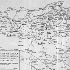
Milevum
53.6 km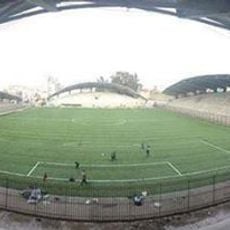
Ramadan Ben-Abdelmalek Stadium
35.1 km
Constantine Gondola lift
37.3 km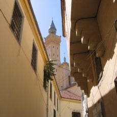
Great Mosque of Constantine
36.8 km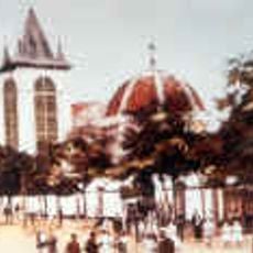
El Bey Mosque
37 km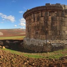
Quintus Lollius Urbicus Mausoleum
51.1 km
Sidi Lakhdar Mosque
37 km
El Guerrah
12 km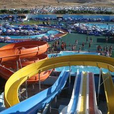
Aquapark
42 km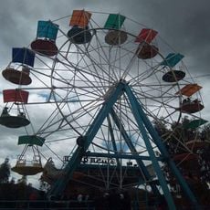
Parc d'attraction Kadri
54.3 km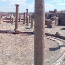
Eastern Market of Timgad
62.1 km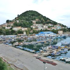
Northeast Algeria
33.4 km
حديقة الحيوانات
51.5 km
Bouzabine parck land__entree 100 da
2.7 kmReviews
Visited this place? Tap the stars to rate it and share your experience / photos with the community! Try now! You can cancel it anytime.
Discover hidden gems everywhere you go!
From secret cafés to breathtaking viewpoints, skip the crowded tourist spots and find places that match your style. Our app makes it easy with voice search, smart filtering, route optimization, and insider tips from travelers worldwide. Download now for the complete mobile experience.

A unique approach to discovering new places❞
— Le Figaro
All the places worth exploring❞
— France Info
A tailor-made excursion in just a few clicks❞
— 20 Minutes