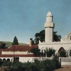
Tizi Ouzou, Regional trade center in Kabylia region, Algeria.
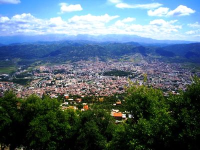
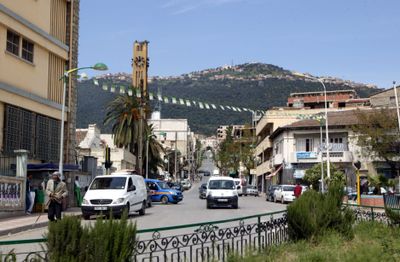
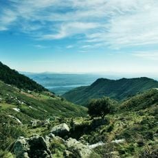
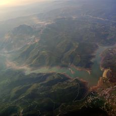
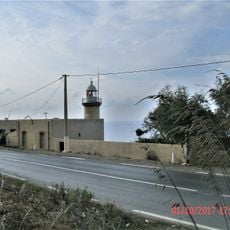
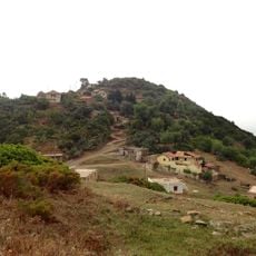
Tizi Ouzou is a regional trade center in the Kabylia region of northern Algeria, spreading across a narrow valley between Mount Beloua and the Sébaou River. The city sits at an elevation of around 600 meters and connects several neighborhoods along the slopes with residential areas and commercial streets.
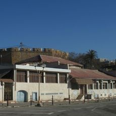
French forces established the settlement in 1856 following a military expedition against Kabyle tribes in the region. The town later developed into an administrative and commercial hub for the surrounding highlands.
The name comes from the Kabyle language, where Tizi refers to a mountain pass and Ouzou points to the Genisteae plants that grow in the surrounding hills. This linguistic connection to the landscape remains part of how locals understand their daily environment and speak about the place.
The Mouloud Mammeri University operates across three separate campus locations and provides study opportunities for the whole region. Visitors should keep in mind the hillside layout, which makes some neighborhoods steeper than others.
The local economy combines traditional basketry workshops with modern pharmaceutical production facilities run by international companies. This contrast appears in shops and workspaces where handmade baskets are sold alongside products from global brands.
The community of curious travelers
AroundUs brings together thousands of curated places, local tips, and hidden gems, enriched daily by 60,000 contributors worldwide.