
Dirrah, commune and town in Bouïra Province, Algeria
Location: Sour El Ghozlane District
GPS coordinates: 36.00032,3.75335
Latest update: March 17, 2025 01:24

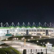
Hocine-Ait Ahmed Stadium
84.4 km
Kalâa of Ait Abbas
81.4 km
Lalla-Khedidja
65.5 km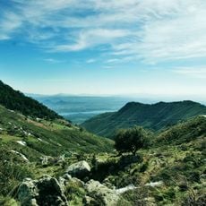
Djurdjura National Park
62.1 km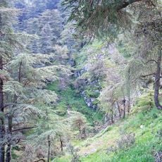
Chrea National Park
91.2 km
Koudiat Acerdoune Dam
56.2 km
Hotel Mercure
93.8 km
Forêt de Baïnem
89.4 km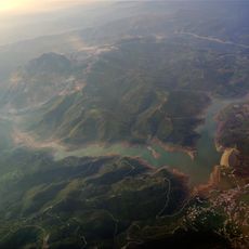
Keddara Dam
78.4 km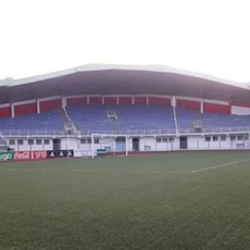
Stade Dar El Beïda
93.8 km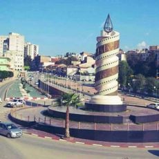
Candle of Tizi-ouzou
83.4 km
Rapidum
32.4 km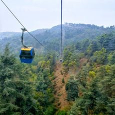
Chrea Gondola lift
95 km
Gueldaman caves
87.3 km
Ouadi El Roukham bridge
48.2 km
Centre technique national de Sidi Moussa
91.9 km
Anou Ifflis
61.6 km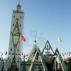
Tala Amara Mosque
83.9 km
Stade Imam Lyes de Médéa
95 km
Mosquée de Bouira
42.4 km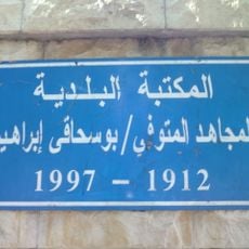
Brahim Boushaki Library
82.7 km
Stade Abdelkader-Zerrouki
81.9 km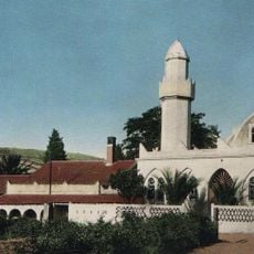
Al-Fath Mosque
82.5 km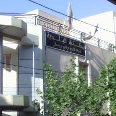
Ramdane Redjouani Street
82.7 km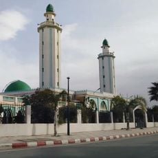
Uthman ibn Affan Mosque
88.8 km
Parc zoologique Keffous
87.7 km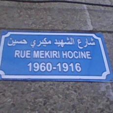
Hocine Mekiri Street
87.6 km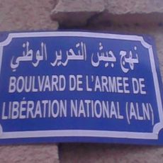
National Liberation Army Avenue
87.7 kmReviews
Visited this place? Tap the stars to rate it and share your experience / photos with the community! Try now! You can cancel it anytime.
Discover hidden gems everywhere you go!
From secret cafés to breathtaking viewpoints, skip the crowded tourist spots and find places that match your style. Our app makes it easy with voice search, smart filtering, route optimization, and insider tips from travelers worldwide. Download now for the complete mobile experience.

A unique approach to discovering new places❞
— Le Figaro
All the places worth exploring❞
— France Info
A tailor-made excursion in just a few clicks❞
— 20 Minutes