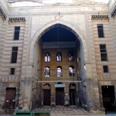
Shobra, Administrative district in North Cairo, Egypt.
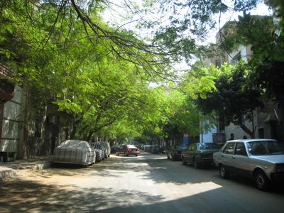
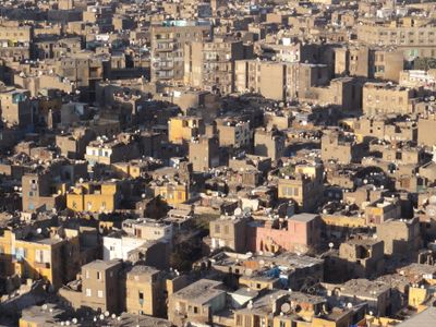
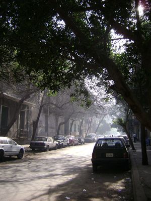
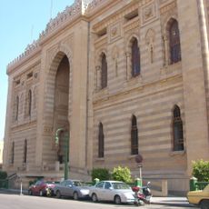
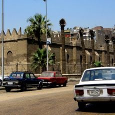
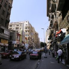
Shobra is an administrative district extending from the railway bridge near Ramsis Square to Shobra Al Kheima, consisting mainly of residential areas. The district features densely built streets, local markets, and varied housing complexes throughout its length.
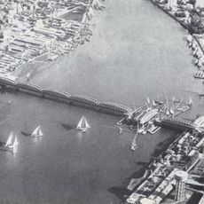
The district originated during the Fatimid period when the Nile flowed along present-day Emad Eddine Street, leading to the formation of Badran Island. This shift in the river's course shaped how the area developed over centuries.
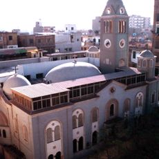
The neighborhood brings together people from different religious backgrounds who share celebrations and daily routines throughout the year. This coexistence shapes the character of the streets and local gathering spaces.
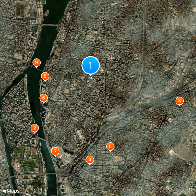
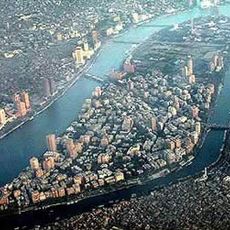
The district connects well to central Cairo through multiple transport options, including metro lines, railways, roads, and river access. These various routes make it straightforward to reach different parts of the area.
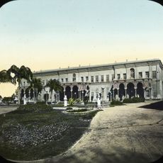
Egypt's first railway line started here in 1854, connecting Cairo to northern regions. This early transport link helped establish the district as a major hub for infrastructure development in the country.
The community of curious travelers
AroundUs brings together thousands of curated places, local tips, and hidden gems, enriched daily by 60,000 contributors worldwide.