Ujué/Uxue

Log in to your account

AroundUs is a community-driven map of interesting places, built by curious explorers like you. It grows with every review, story, and photo you share.
Connect to save your favorite spots, contribute locations, and create personalized routes.
Continue with Google
Continue with Apple
Continue with X
Continue with Facebook
Continue with email
By continuing, you accept our Terms and Conditions and our Privacy Policy
Create an account
Add to collection
Map
Suggest a change
Share

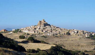
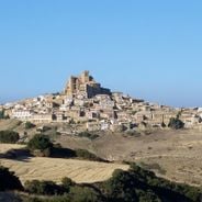
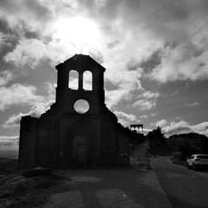
Ujué/Uxue, Medieval hilltop settlement in Navarre, Spain

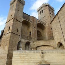
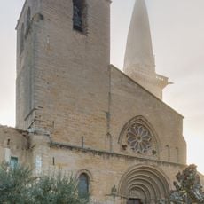
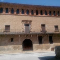
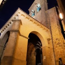
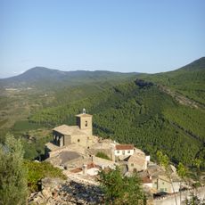
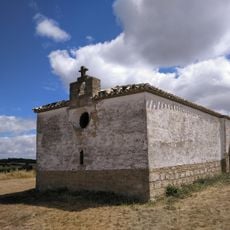
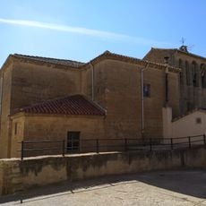
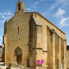
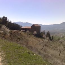
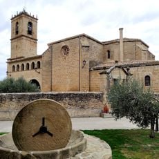
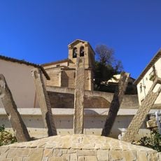
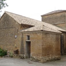
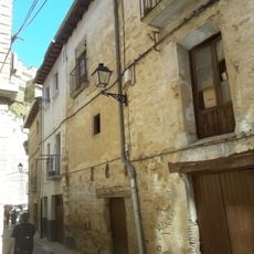
Ujué is a medieval settlement perched on a steep hillside in Navarre, with stone buildings and narrow lanes climbing toward a central fortress church. The architecture clusters around this religious structure, which occupies the highest point and anchors the entire layout.

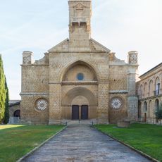
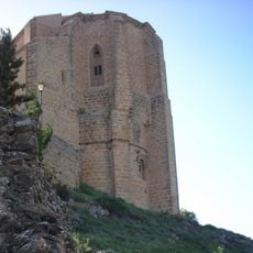
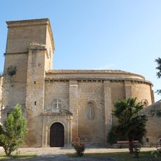
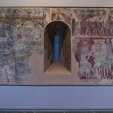
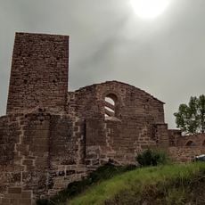
The settlement developed in the Middle Ages as a fortified location with a church built in the 12th century, which was later expanded into a fortress structure. The site served important defensive and religious functions for centuries in the region.

The name comes from the Basque word for dove, rooted in a local legend about a shepherd following a bird to discover a sacred place. The community still speaks both Spanish and Basque, with place names reflecting this linguistic heritage.

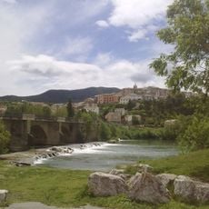
Access to the town requires driving up winding mountain roads with steep sections that demand careful navigation. Accommodation options within the village itself are limited, though larger nearby communities offer more facilities.

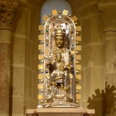
In 1035, King Charles II of Navarre died and his heart was entombed in the church, where it remains in a special shrine to this day. This unusual burial practice makes the site a destination for those interested in medieval religious customs and royal history.

Location: Navarre

Location: Merindade of Olite

Location: Zona Media-Erdialdea

Capital city: Ujué

Elevation above the sea: 815 m

Part of: Mancomunidade de Mairaga-Zona Media/Erdi Aldea, Mancomunidade de Servizos Sociais de Base da Zona de Olite, Mixed Zone of Navarre

Shares border with: Murillo El Fruto, Santacara, Pitillas, Beire, San Martín de Unx, Lerga, Eslava, Gallipienzo/Galipentzu

GPS coordinates: 42.47981,-1.49709

Latest update: December 7, 2025 10:08

Photos
Reviews

Visited this place? Tap the stars to rate it and share your experience / photos with the community! Try now! You can cancel it anytime.

« Ujué/Uxue - Medieval hilltop settlement in Navarre, Spain » is provided by Around Us (aroundus.com). Images and texts are derived from Wikimedia project under a Creative Commons license. You are allowed to copy, distribute, and modify copies of this page, under the conditions set by the license, as long as this note is clearly visible.

Discover hidden gems everywhere you go!

From secret cafés to breathtaking viewpoints, skip the crowded tourist spots and find places that match your style. Our app makes it easy with voice search, smart filtering, route optimization, and insider tips from travelers worldwide. Download now for the complete mobile experience.

Around Us App Screenshot

A unique approach to discovering new places

Le Figaro

All the places worth exploring

France Info

A tailor-made excursion in just a few clicks

20 Minutes