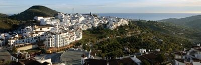
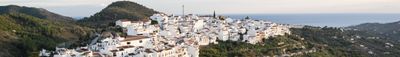
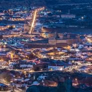
Frigiliana, Mountain village in La Axarquía region, Spain
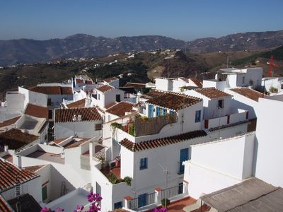
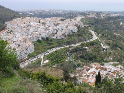
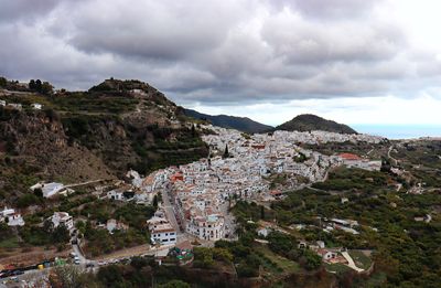
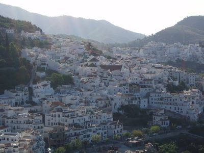
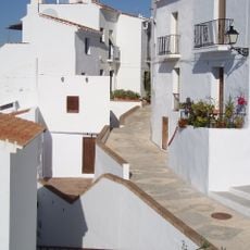
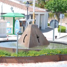
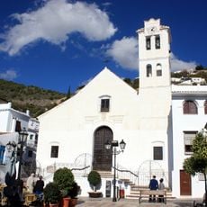
Frigiliana is a mountain village in the La Axarquía region of Málaga Province with whitewashed houses, narrow winding streets, and red tile roofs that cascade down the hillside. The homes feature wrought-iron balconies and colorful flowering plants that decorate the old town throughout the year.
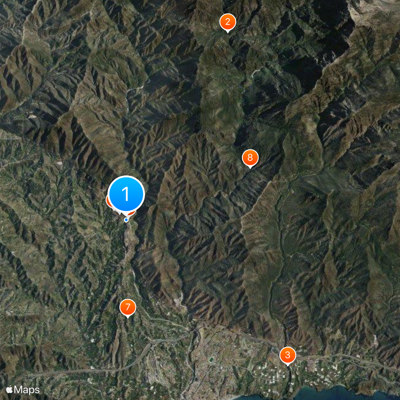
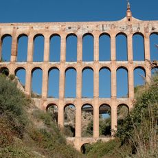
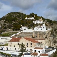
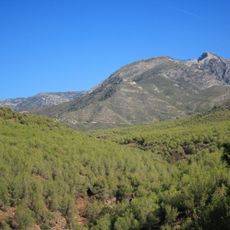
The hilltop fortress at El Fuerte was the site of the final confrontation between Moorish and Christian forces during a regional uprising in the late 1500s. Remnants of the fortification can still be seen on the hillside today.
The community celebrates its mixed heritage through local celebrations and daily customs that blend Christian, Muslim, and Jewish traditions in cuisine, street names, and seasonal gatherings. These influences remain woven into how residents experience and share their neighborhood.
The village is served by regular bus routes connecting it to nearby Nerja, with journeys taking around 20 minutes on mountain roads. The narrow streets are best explored on foot, and visiting early in the day helps avoid larger crowds.
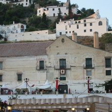
The Palacio de los Condes housed Europe's first sugarcane honey processing facility, a heritage celebrated during a spring festival each year. This unusual industry represents a lesser-known chapter of local agricultural innovation that shaped the economy of the region.
The community of curious travelers
AroundUs brings together thousands of curated places, local tips, and hidden gems, enriched daily by 60,000 contributors worldwide.