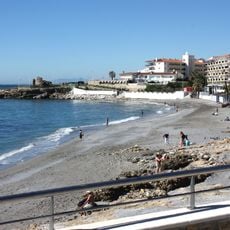
Centro Histórico de Frigiliana, Historic district in Frigiliana, Spain
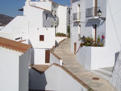
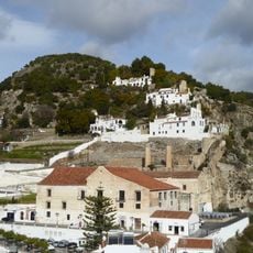
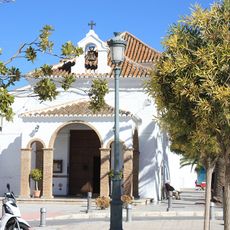
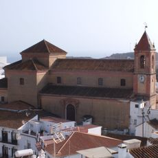
The historic center of Frigiliana is a district with narrow streets that follow the hillside's natural slope and are connected by steep stairways between whitewashed buildings. The layout features tight, winding paths where flower boxes and potted plants decorate the facades.
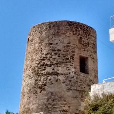
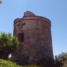
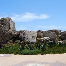
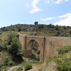
The urban layout dates back to Muslim rule in the 8th century when early settlers first occupied the hillside. The construction of Lízar Castle later marked the consolidation of medieval development and established the street pattern that remains today.
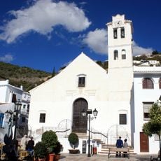
The buildings showcase Moorish design principles through traditional wooden doors and wrought iron windows that remain in place today. These architectural features shape the district's character and reflect the community's connection to its heritage.
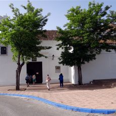
Exploring the district is straightforward, as an information center on Cuesta del Apero provides maps and guidance for twelve marked walking routes through the medieval streets. Sturdy shoes are necessary since the steep stairways and narrow paths require physical effort.
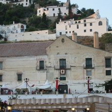
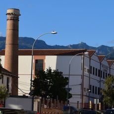
The district is home to Europe's last functioning sugar cane honey factory housed in the 16th-century Ingenio Nuestra Señora del Carmen building. This rare production site demonstrates traditional craft work that the region has practiced for generations.
The community of curious travelers
AroundUs brings together thousands of curated places, local tips, and hidden gems, enriched daily by 60,000 contributors worldwide.