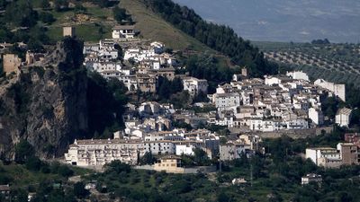
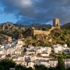
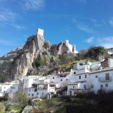
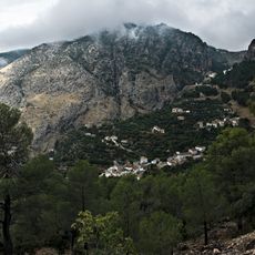
La Iruela, Mountain municipality in Sierra de Cazorla, Spain.
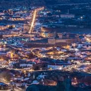
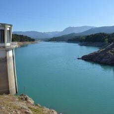
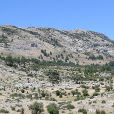
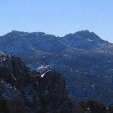
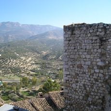
La Iruela is a municipality in the Sierra de Cazorla mountain range, situated at 954 meters above sea level. The settlement overlooks pine forests and ridges within Spain's largest natural park.
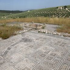
The area holds evidence of settlements from the Copper Age dating to the third millennium BC. Bronze Age communities later developed important centers in this mountain region.
The settlement carries traces of local customs visible in the food people prepare and how they tend their land. These traditions shape daily life in the mountain community and connect residents to their mountain heritage.
The town is reached from Jaén by taking the road through Mancha Real and Cazorla, a journey of roughly 96 kilometers. The mountain roads are generally navigable but do require careful driving.
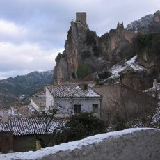
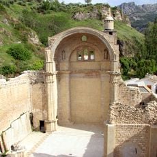
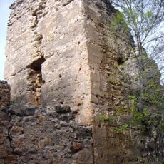
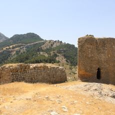
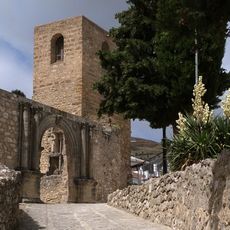
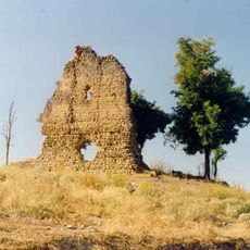
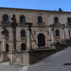
Fortress towers dating to the 11th century stand at the gateway to Spain's largest nature reserve. These ancient towers mark where the protected wilderness begins and once guarded the mountain passages.
The community of curious travelers
AroundUs brings together thousands of curated places, local tips, and hidden gems, enriched daily by 60,000 contributors worldwide.