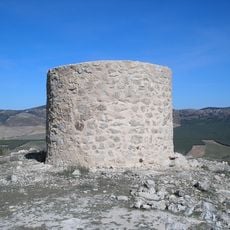
Las Banderillas, Mountain summit in Sierra de Segura, Spain.
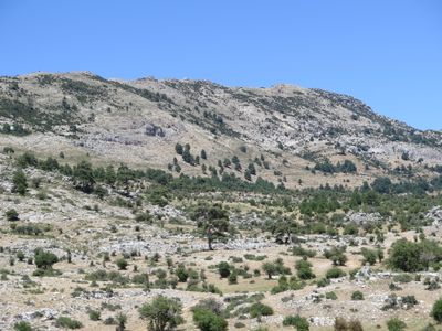
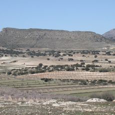
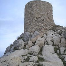
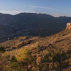
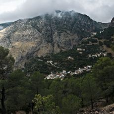
Las Banderillas is a 1993 meter summit in the Sierra de Segura with rocky western cliffs dropping sharply and gentler eastern slopes. The peak sits within a forested landscape crossed by multiple hiking trails of varying difficulty.
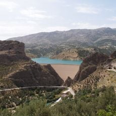
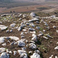
The mountain belongs to the Pre-baetic System, a geological formation that shapes southern Spain's landscape. This mountain range developed over millions of years through tectonic movement that created the region's present-day structure.
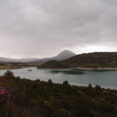
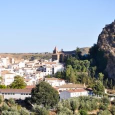
The peak serves as a natural landmark within Sierras de Cazorla, Segura y Las Villas Natural Park, contributing to the region's environmental heritage.
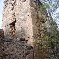
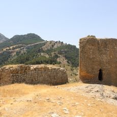
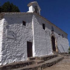
Hiking to the summit requires sturdy footwear and weather protection, as mountain conditions can change quickly. A forest fire prevention station near the top provides basic support for visitors exploring the surrounding area.
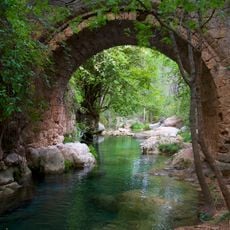
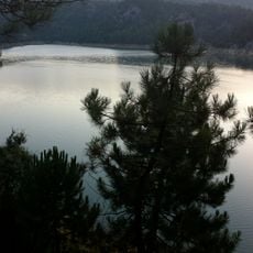
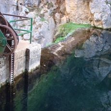
From the western cliffs, you can look down simultaneously into the Aguamulas River valley and toward La Campana Brook, offering a rare view of two water features at once. This overlook is often overlooked by guides but ranks among the most striking aspects of the location.
GPS coordinates: 38.01366,-2.78376
Latest update: December 14, 2025 12:28
Sierra de La Sagra
20.4 km
Castillo de la Yedra
22.4 km
Castillo La Iruela
20.8 km
Iglesia de Santa Maria, Cazorla
22.3 km
Puente de las Herrerías
18.5 km
La Sagra Observatory
19.4 km
San Clemente Reservoir
20.4 km
Castillo de Bujaraiza
9.4 km
Embalse del Aguascebas
15 km
Castillo de Hornos
23.3 km
Castillo de las Cinco Esquinas
23.2 km
Aparcamieto en Castillo de la Yedra
22.5 km
El Portillo Reservoir
23.1 km
Iglesia de San Andrés, Villanueva del Arzobispo
26.5 km
Villanueva del Arzobispo's bullring
25.7 km
Monasterio de Santa Ana
26.4 km
Ruinas de la Iglesia de Santo Domingo
20.9 km
Torre de Ferrer
26.9 km
Torre de Almorox
27 km
Castillo de Nubla
23.6 km
Torre del Cerro de la Trompeta
24.6 km
Palacio de las Cadenas
22.2 km
Torcas de Cueva Humosa
6.8 km
Centro Histórico de Castril
24.3 km
Central Hidroeléctrica Cerrada del Utrero
15.6 km
Ermita de San Isicio
22.9 km
Paisaje de Hornos
23.5 km
Paisaje del nacimiento del Guadalquivir
25.6 kmVisited this place? Tap the stars to rate it and share your experience / photos with the community! Try now! You can cancel it anytime.
Discover hidden gems everywhere you go!
From secret cafés to breathtaking viewpoints, skip the crowded tourist spots and find places that match your style. Our app makes it easy with voice search, smart filtering, route optimization, and insider tips from travelers worldwide. Download now for the complete mobile experience.
A unique approach to discovering new places❞
— Le Figaro
All the places worth exploring❞
— France Info
A tailor-made excursion in just a few clicks❞
— 20 Minutes