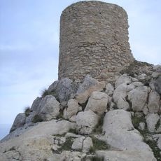
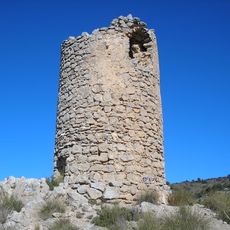
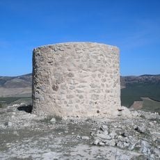
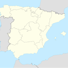
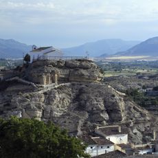
Sierra de La Sagra, Mountain summit in Province of Granada, Spain.
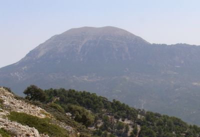
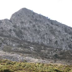
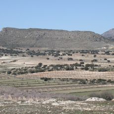
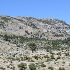
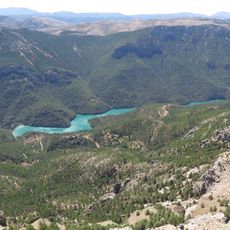
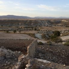
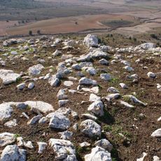
Sierra de La Sagra is a mountain chain in Granada Province, in southeastern Spain, with a summit that ranks among the highest points in the area. The terrain shifts from dry lower slopes covered with scrub to bare rocky ridges near the top, where the ground becomes open and exposed.
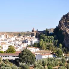
For centuries, Sierra de La Sagra has marked the boundary between the region of Murcia and Andalusia, influencing how people settled on either side. Its position as a natural border shaped the identity of the surrounding villages and the routes used to cross between the two regions.
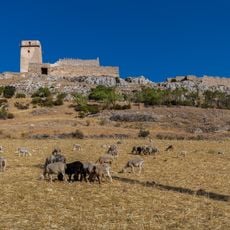
Communities living nearby practice traditional farming and herding that shape how the land looks and functions today. These ways of working have connected people to this mountain for centuries and remain visible in how the terrain is managed.
Trails leading up to the summit start from the valleys below, and solid footwear is essential since the ground becomes rocky and uneven higher up. The weather can change quickly at altitude, so carrying extra layers is a good idea even on warm days.
Although Sierra de La Sagra sits within Granada Province, its summit is more visible from parts of the Murcia region than from the Andalusian side. This contrast between administrative borders and physical geography often surprises visitors who are exploring the area for the first time.
The community of curious travelers
AroundUs brings together thousands of curated places, local tips, and hidden gems, enriched daily by 60,000 contributors worldwide.