Chest opened
+${chestReward.xp} XP
Explorer
NOUVEAU ×${chestReward.collectible.quantity}
tapez pour fermer
Chest locked

Open chests in the app

Around Us is built for your phone — chests unlock when you walk, explore and capture nearby places.

Enable Location

We need your location to show you interesting places around you

Discover nearby places

Find interesting locations and hidden gems around you

Precise directions

Get accurate directions and distances to places

Your location is never shared with other users. It's only used when you tap the location button.

Sierra de Ayllón

Log in to your account

Start exploring — it's free

Trusted by 72,953 travelers worldwide

Continue with Google
Continue with Apple
or

We will send you a code to connect

By continuing, you accept our Terms and Conditions and our Privacy Policy

Check your inbox

We've sent a pincode in your inbox. Please enter the code below.

Sierra de Ayllón
Discussion Reviews 1 Photos
13.6k Popularity

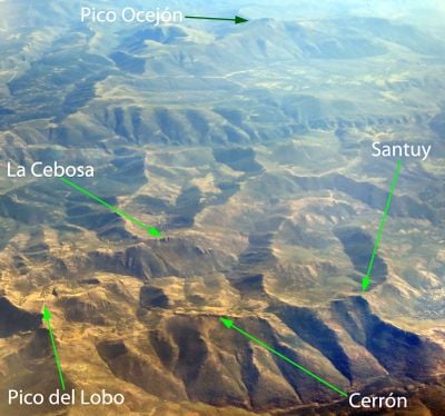
Sierra de Ayllón, Mountain chain between Guadalajara, Madrid and Segovia, Spain.

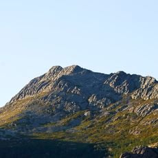
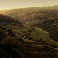
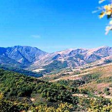
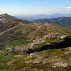
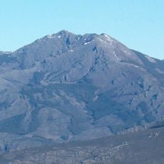
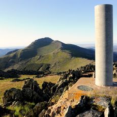
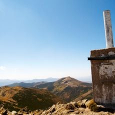
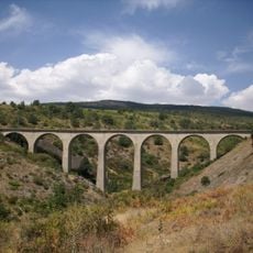
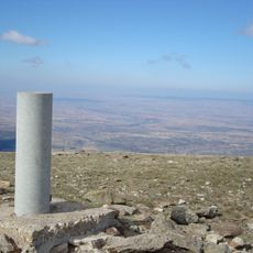
Sierra de Ayllón is a mountain chain that stretches across three provinces and is formed by granite, gneiss, and slate, with peaks reaching above 2,200 meters. The range features steep slopes, forested valleys, and alpine meadows in its higher elevations, creating varied terrain throughout the system.

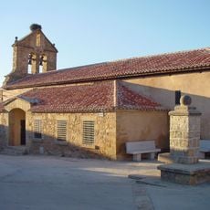
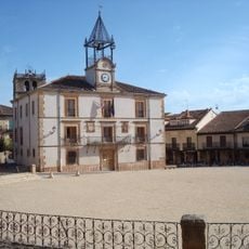
During the Medieval period, the mountain range served as a natural boundary between different kingdoms, shaping the region's political geography. Settlements developed along its slopes, drawn by mineral deposits and the opportunities that the terrain offered.

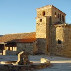
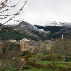
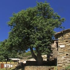
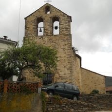
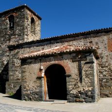
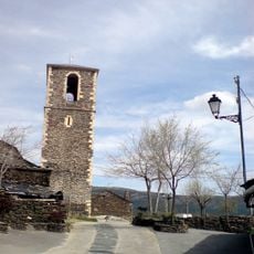
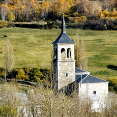
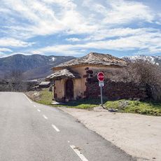
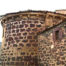
Villages scattered across the range built their houses using locally quarried stone, resulting in black slate structures in the south and reddish-toned buildings in the north. This choice of material shaped the character of each community and reflects how inhabitants adapted to what the land offered.

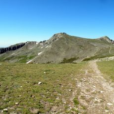
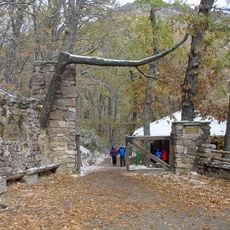
Marked trails connect mountain towns like Riaza and Cantalojas, providing multiple access points for hiking and exploration throughout the range. The best time to visit is during warmer months when trails are clear of snow and visibility is good.

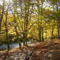
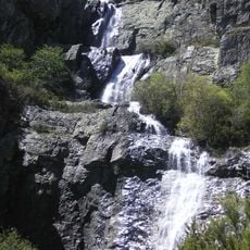
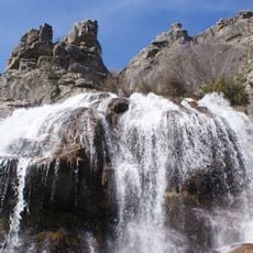
The mountain system creates distinct microclimates that support both Mediterranean and alpine ecosystems, including beech forests at mid-elevations and high-altitude grasslands. This blend of different climate zones in a relatively compact area makes the region especially rewarding for nature observers.

The community of curious travelers

AroundUs brings together thousands of curated places, local tips, and hidden gems, enriched daily by 60,000 contributors worldwide.

Start exploring
Location
Elevation above the sea
2,272 m
Made from material
granite, gneiss, slate
GPS coordinates
41.16670,-3.43333
Latest update
December 7, 2025 20:25
Reviews
Share your experience

No review yet

Discussions
Start a discussion...

No discussion yet

« Sierra de Ayllón - Mountain chain between Guadalajara, Madrid and Segovia, Spain » is provided by Around Us (aroundus.com). Images and texts are derived from Wikimedia project under a Creative Commons license. You are allowed to copy, distribute, and modify copies of this page, under the conditions set by the license, as long as this note is clearly visible.

Discover hidden gems everywhere you go!

From secret cafés to breathtaking viewpoints, skip the crowded tourist spots and find places that match your style. Our app makes it easy with voice search, smart filtering, route optimization, and insider tips from travelers worldwide. Download now for the complete mobile experience.

Around Us App Screenshot

A unique approach to discovering new places

Le Figaro

All the places worth exploring

France Info

A tailor-made excursion in just a few clicks

20 Minutes

Around Us
Travel Guide & Maps
Download

Send to your phone

QR Code
1

Open the camera app on your mobile.

2

Point at the QR code with your camera. A notification will appear.

3

Tap the notification to open the link.