
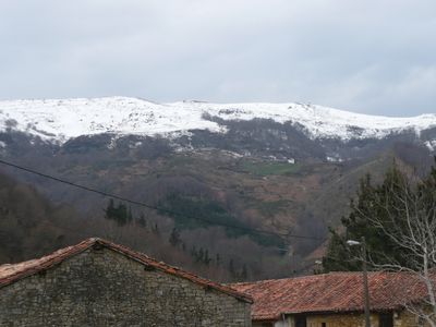
Sierra del Escudo, protected area in Spain
Location: Cantabria
Inception: 2006
Elevation above the sea: 1,328 m
GPS coordinates: 43.04806,-3.87917
Latest update: March 2, 2025 22:23

Ebro Reservoir
9.7 km
Pyramid of Puerto del Escudo
883 m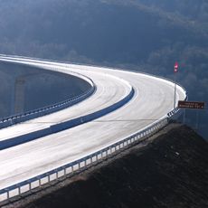
Viaducto de Montabliz
18.2 km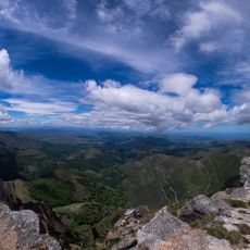
Pas and Miera valleys
16.3 km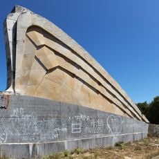
Monument to Sagardía Column
17.6 km
Pico Jano
12.7 km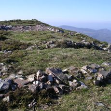
Yacimientos de La Espina del Gallego, Cildá, El Cantón y Campo de Las Cercas
14.4 km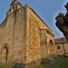
Church of San Facundo y San Primitivo, Silió
15.9 km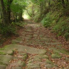
Besaya valley path
17.1 km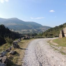
Camino real de las Hoces
15.5 km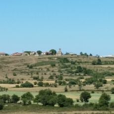
Cilleruelo de Bricia
17.4 km
Caserío Redondo
14.6 km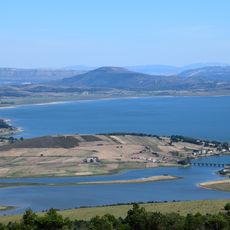
Campamento romano de El Cincho
5.6 km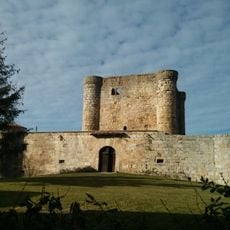
Castillo de Virtus
8.4 km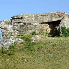
Dolmen de Busnela
8.5 km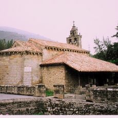
Iglesia de San Cosme y San Damián (Bárcena de Pie de Concha)
16.8 km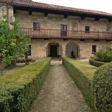
Manor House of Calderon de la Barca Family
18.8 km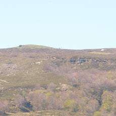
Mediajo Frío
7.3 km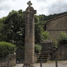
Rollo de Justicia
17.2 km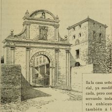
Torre de Ceballos (Alceda)
16.6 km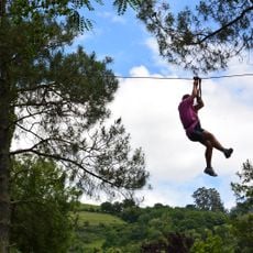
Parque de Aventura - Alceda Aventura
17.1 km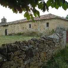
Ermita de San Roque, Merindad de Sotoscueva
16.9 km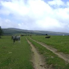
La Redonda (Anievas)
16.3 km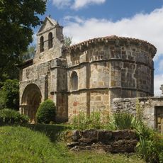
Church of the Immaculate Conception, Crespos
18.5 km
Biblioteca Pública de Vega de Pas - Castro Valnera
14.6 km
Lugar de Alceda
16.3 km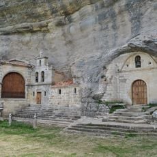
Ermita de San Bernabé, Merindad de Sotoscueva
17.7 km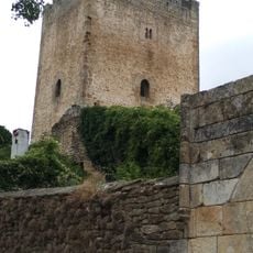
Tower of The Porres
10.8 kmVisited this place? Tap the stars to rate it and share your experience / photos with the community! Try now! You can cancel it anytime.
Discover hidden gems everywhere you go!
From secret cafés to breathtaking viewpoints, skip the crowded tourist spots and find places that match your style. Our app makes it easy with voice search, smart filtering, route optimization, and insider tips from travelers worldwide. Download now for the complete mobile experience.

A unique approach to discovering new places❞
— Le Figaro
All the places worth exploring❞
— France Info
A tailor-made excursion in just a few clicks❞
— 20 Minutes