Enable Location

We need your location to show you interesting places around you

Discover nearby places

Find interesting locations and hidden gems around you

Precise directions

Get accurate directions and distances to places

Your location is never shared with other users. It's only used when you tap the location button.

Besaya valley path

Log in to your account

Start exploring — it's free

Trusted by 62,280 travelers worldwide

Continue with Google
Continue with Apple
or

We will send you a code to connect

By continuing, you accept our Terms and Conditions and our Privacy Policy

Check your inbox

We've sent a pincode in your inbox. Please enter the code below.

Besaya valley path

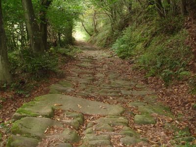
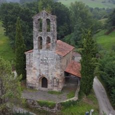
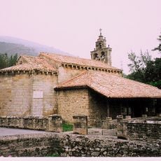
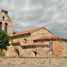
Besaya valley path, Roman road and hiking trail in Cantabria and Castile and León, Spain

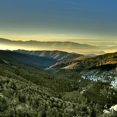
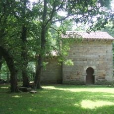
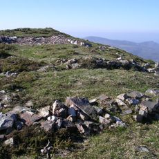
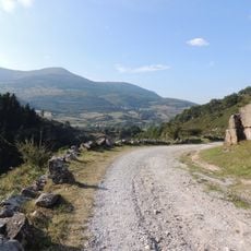
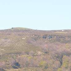
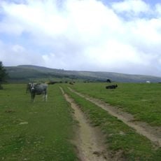
The Besaya Valley Path runs through the river valley with sections of stone paving and passages through native forest and mountain terrain. The route varies in condition along different stretches, showing a mix of river-level sections and steep forest climbs.

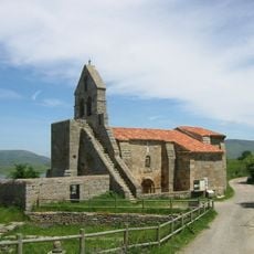
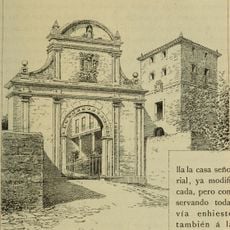
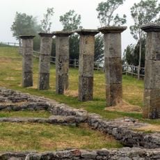
The path was built in the 18th century with stone slabs initially believed to be part of a Roman road linking Pisoraca to Portus Blendium. Later study revealed the construction belonged to the early modern period and resulted from local building practices rather than Roman origins.

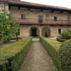
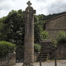
The path holds significance in local memory as a connection between mountain communities that shaped how people moved through this region. Today it reflects the practical needs of past travelers who relied on such routes for daily life and commerce.

The best preserved section runs four kilometers between Pie de Concha and Somaconcha with reliable ground conditions for hiking. Visitors should wear sturdy footwear and prepare for varying slopes along the route.

Certain sections have slopes exceeding 30 percent that alternate with nearly flat areas along the mountain terrain. This dramatic variation in grade made navigation challenging for historical travelers and demonstrates how routes adapted to the landscape.

The community of curious travelers

AroundUs brings together thousands of curated places, local tips, and hidden gems, enriched daily by 60,000 contributors worldwide.

Start exploring
Location
GPS coordinates
43.10101,-4.07668
Latest update
December 14, 2025 17:02
« Besaya valley path - Roman road and hiking trail in Cantabria and Castile and León, Spain » is provided by Around Us (aroundus.com). Images and texts are derived from Wikimedia project under a Creative Commons license. You are allowed to copy, distribute, and modify copies of this page, under the conditions set by the license, as long as this note is clearly visible.

Discover hidden gems everywhere you go!

From secret cafés to breathtaking viewpoints, skip the crowded tourist spots and find places that match your style. Our app makes it easy with voice search, smart filtering, route optimization, and insider tips from travelers worldwide. Download now for the complete mobile experience.

Around Us App Screenshot

A unique approach to discovering new places

Le Figaro

All the places worth exploring

France Info

A tailor-made excursion in just a few clicks

20 Minutes

Around Us
Travel Guide & Maps
Download

Send to your phone

QR Code
1

Open the camera app on your mobile.

2

Point at the QR code with your camera. A notification will appear.

3

Tap the notification to open the link.