Enable Location

We need your location to show you interesting places around you

Discover nearby places

Find interesting locations and hidden gems around you

Precise directions

Get accurate directions and distances to places

Your location is never shared with other users. It's only used when you tap the location button.

Sur

Log in to your account

Start exploring — it's free

Trusted by 61,963 travelers worldwide

Continue with Google
Continue with Apple
or

We will send you a code to connect

By continuing, you accept our Terms and Conditions and our Privacy Policy

Check your inbox

We've sent a pincode in your inbox. Please enter the code below.

Sur

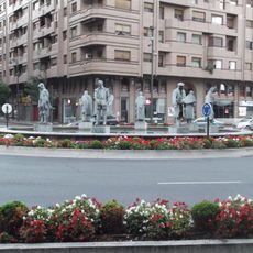
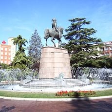
Sur, Administrative district in Logroño, Spain

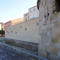
Sur is a district in the south of Logroño that stretches from the Francisco de la Mata Wall to the municipal boundary. It combines residential areas, green spaces, and was built at different times with varying structures.

The area grew from older neighborhoods like San Antonio and was later expanded with modern districts such as Ciudad de Santiago. This development shows how the city spread southward and needed new residential areas.

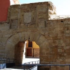
The district sits along the Santiago Pilgrimage Route, where travelers from many countries pass through and shape its character. This connection to pilgrimage is visible in daily life, even though not all residents are pilgrims themselves.

The railway line forms the northern border while Avenue of Burgos marks the western limit, with multiple access points to different parts of the city. Good connections make it easy to move between areas and reach Logroño's center.

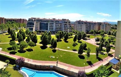
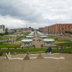
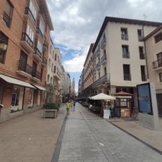
The newer areas of El Arco and La Cava feature pedestrian zones surrounded by green spaces, with a different character from older parts. These newer locations invite walking and show how modern urban development has been carried out here.

The community of curious travelers

AroundUs brings together thousands of curated places, local tips, and hidden gems, enriched daily by 60,000 contributors worldwide.

Start exploring
Location
GPS coordinates
42.45275,-2.45097
Latest update
December 14, 2025 18:44
« Sur - Administrative district in Logroño, Spain » is provided by Around Us (aroundus.com). Images and texts are derived from Wikimedia project under a Creative Commons license. You are allowed to copy, distribute, and modify copies of this page, under the conditions set by the license, as long as this note is clearly visible.

Discover hidden gems everywhere you go!

From secret cafés to breathtaking viewpoints, skip the crowded tourist spots and find places that match your style. Our app makes it easy with voice search, smart filtering, route optimization, and insider tips from travelers worldwide. Download now for the complete mobile experience.

Around Us App Screenshot

A unique approach to discovering new places

Le Figaro

All the places worth exploring

France Info

A tailor-made excursion in just a few clicks

20 Minutes

Around Us
Travel Guide & Maps
Download

Send to your phone

QR Code
1

Open the camera app on your mobile.

2

Point at the QR code with your camera. A notification will appear.

3

Tap the notification to open the link.