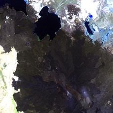
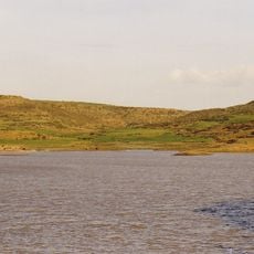
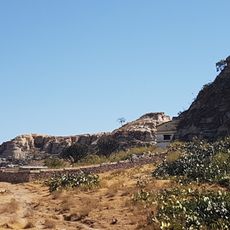
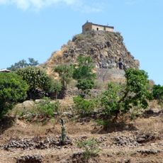
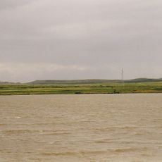
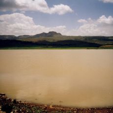
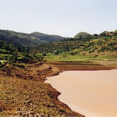
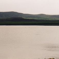
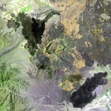
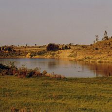
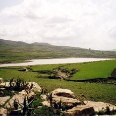
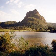
Amba Aradam, Table mountain in Tigray Region, Ethiopia.
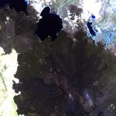
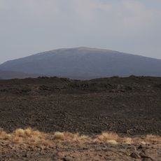
Amba Aradam is a table mountain in the Debub Misraqawi Zone of the Tigray Region, reaching 2,756 metres. Its summit forms a long, flat horizontal line with a slight step on the right, above steep pale bands of upper slopes that darken toward the base. The bedrock consists of Jurassic marls and clays of the Agula Shales Formation, overlain by the Cretaceous Amba Aradam Formation.
On 15 February 1936, during the Second Italo-Ethiopian War, the Italian Royal Army under Pietro Badoglio took Amba Aradam from Ethiopian forces led by ras Mulugeta, in the Battle of Enderta. Before the battle, Italian envoys had secured alliances with local tribes, whose allegiance shifted repeatedly as negotiations went on.
The Tigrinya name is Imba Aradom; the form Amba Aradam was fixed by international geology and history writing, including the Amba Aradam Formation named after the mountain. Italian soldiers' experience of shifting local tribal alliances before the 1936 battle produced the word ambaradan, meaning a chaotic situation or a complicated undertaking.
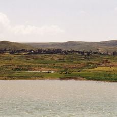
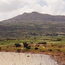
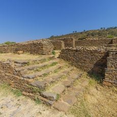
Hintalo, the main town at the foot of the mountain, was the capital of Tigray in the 19th century; large parts of it were later abandoned, and the ruins of those quarters, observed in 1868, are still visible. Settlements around the massif sit on flat surfaces and foot slopes where colluvial deposits allow farming. The upper slopes are steep pale rock bands below the flat rim, so plan for rough ground.
The mountain gave its name to the Amba Aradam Formation, the Cretaceous conglomerates, sandstones and laterite levels that lie unconformably over the Jurassic Agula Shales. Small dolerite necks of Oligocene age are exposed on the westernmost edge of the upper escarpment and west of the summit.
The community of curious travelers
AroundUs brings together thousands of curated places, local tips, and hidden gems, enriched daily by 94,653 contributors worldwide.