Chest opened
+${chestReward.xp} XP
Explorer
NOUVEAU ×${chestReward.collectible.quantity}
tapez pour fermer
Chest locked

Open chests in the app

Around Us is built for your phone — chests unlock when you walk, explore and capture nearby places.

Enable Location

We need your location to show you interesting places around you

Discover nearby places

Find interesting locations and hidden gems around you

Precise directions

Get accurate directions and distances to places

Your location is never shared with other users. It's only used when you tap the location button.

Log in to your account

Start exploring — it's free

Trusted by 72,919 travelers worldwide

Continue with Google
Continue with Apple
or

We will send you a code to connect

By continuing, you accept our Terms and Conditions and our Privacy Policy

Check your inbox

We've sent a pincode in your inbox. Please enter the code below.

La Peyrouse
Discussion Reviews Photo
40+ Popularity

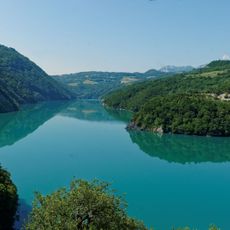
La Peyrouse, Mountain summit in Taillefer range, Isère, France.

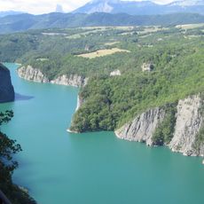
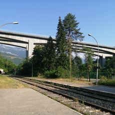
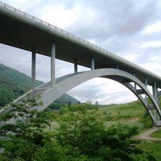
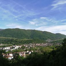
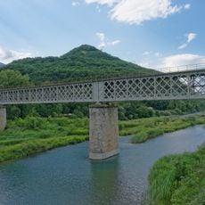
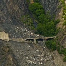
La Peyrouse is a mountain summit in the Taillefer range near Monteynard with an elevation of 1710 meters (5610 feet). The location offers several hiking routes and viewpoints across the surrounding landscape.

The peak has been a known destination in the French Alps for many years as a regional reference point. Over time, numerous mountaineers and hikers have visited and documented their journeys here.

The summit serves as a landmark for hikers in the area who regularly explore the region and share knowledge about mountain travel. Local people often use it as a reference point when discussing the surrounding peaks.

The hike starts from Le Majeuil at 970 meters elevation and requires good preparation and physical fitness. It is wise to start early in the day and monitor weather conditions closely, as conditions can change rapidly at higher elevations.

Snow conditions vary significantly depending on elevation, with minimal coverage at the summit while lower areas can have considerable snow accumulation. This makes each climb a distinct experience with different challenges.

The community of curious travelers

AroundUs brings together thousands of curated places, local tips, and hidden gems, enriched daily by 60,000 contributors worldwide.

Start exploring
Elevation above the sea
1,710 m
GPS coordinates
44.99194,5.72444
Latest update
December 15, 2025 13:26
Reviews
Share your experience

No review yet

Discussions
Start a discussion...

No discussion yet

« La Peyrouse - Mountain summit in Taillefer range, Isère, France » is provided by Around Us (aroundus.com). Images and texts are derived from Wikimedia project under a Creative Commons license. You are allowed to copy, distribute, and modify copies of this page, under the conditions set by the license, as long as this note is clearly visible.

Discover hidden gems everywhere you go!

From secret cafés to breathtaking viewpoints, skip the crowded tourist spots and find places that match your style. Our app makes it easy with voice search, smart filtering, route optimization, and insider tips from travelers worldwide. Download now for the complete mobile experience.

Around Us App Screenshot

A unique approach to discovering new places

Le Figaro

All the places worth exploring

France Info

A tailor-made excursion in just a few clicks

20 Minutes

Around Us
Travel Guide & Maps
Download

Send to your phone

QR Code
1

Open the camera app on your mobile.

2

Point at the QR code with your camera. A notification will appear.

3

Tap the notification to open the link.