Montagne de Conest, Alpine summit in Taillefer massif, France.
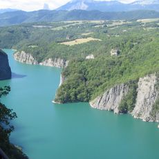
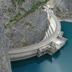
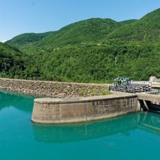
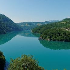
Montagne de Conest is an alpine summit rising to 964 meters, positioned between the towns of Laffrey and Monteynard in the Isère department. The peak sits within the Taillefer massif and overlooks a network of valleys and glacial lakes below.
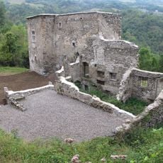
The peak served as a natural vantage point for monitoring the surrounding alpine region over centuries, overlooking key trade routes and valleys. Its elevated position made it strategically valuable for controlling access to mountain passes and lower settlements.
The mountain paths reflect traditional pastoral ways, with alpine trails still used by local shepherds moving their flocks through seasonal grazing grounds.
The summit is reachable from Saint-Jean-de-Vaulx via a hiking route of about 7 kilometers with roughly 425 meters of elevation gain. The trail is well marked and climbs through open meadows with expanding views as you ascend.
The summit offers simultaneous views of several mountain lakes nestled in the valleys below and is favored by paragliders. Stable thermal currents on clear days allow experienced pilots to stay aloft for extended periods.
The community of curious travelers
AroundUs brings together thousands of curated places, local tips, and hidden gems, enriched daily by 60,000 contributors worldwide.