Cima di Gaina, Mountain summit in Ligurian Alps, France
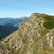
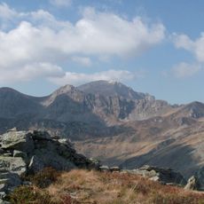
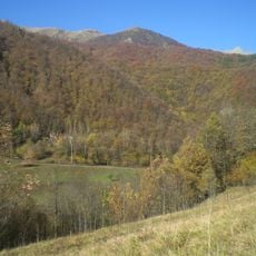
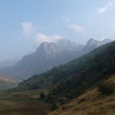
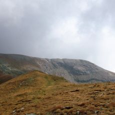
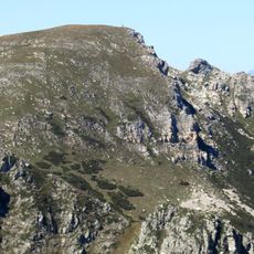
Cima di Gaina is a mountain summit in the Ligurian Alps at the French-Italian border, standing at approximately 2400 meters elevation. The peak forms an important point along the main Alpine chain between the Tanaro basin and the Roia valley.
The summit has long served as a boundary point between regions and was redrawn as a border marker through the Treaty of Paris. This change shifted the national boundary and linked the peak to a new administrative arrangement.
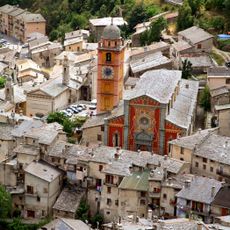
The mountain carries different names across languages, reflecting the linguistic heritage of the French-Italian border region where multiple communities intersect. This naming variety shows how border peaks shape local cultural identity.
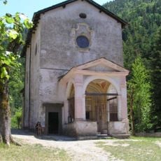
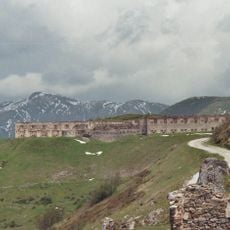
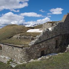
Hikers can reach the summit via marked trails starting from Rifugio Don Barbera, with several route options available for different abilities. It helps to check weather conditions beforehand and bring appropriate high-altitude gear for the climb.
The summit sits in an unusual administrative setup, with the French portion belonging to an exclave of La Brigue in Alpes-Maritimes. This geographical quirk makes the peak interesting for border hikers and those curious about territorial arrangements.
The community of curious travelers
AroundUs brings together thousands of curated places, local tips, and hidden gems, enriched daily by 60,000 contributors worldwide.