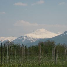
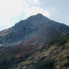
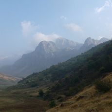
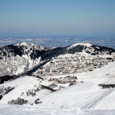
Punta Marguareis, Mountain summit in the Ligurian Alps, France and Italy
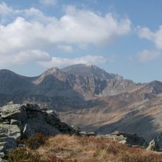
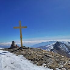
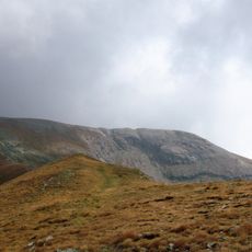
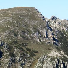
Punta Marguareis is the highest peak of the Ligurian Alps, reaching 2,651 m on the border between Piedmont and the Alpes-Maritimes. Its south side is a gently sloping karst plateau, while the north face is a vertical wall cut by steep gullies. The summit is marked by a metal lattice cross.
Lorenzo Pareto made and reported the first ascent via the south ridge, starting from Carnino in Briga Alta; the sources give no year for it. The north face was first climbed on 30 June 1903 by A. Gandolfi and S. Gattai of Genoa. Until the late 19th century the mountain was little known, and the better-known Mongioie was often taken for the highest Ligurian peak.
The name comes from the jargon of Brigasc shepherds, who called it Maraguaréz and Maravarez. Old maps labelled it Monte delle Carsene, after the karst south side. The summit is marked by a metal lattice cross, and the mountain gives its name to the Parco naturale del Marguareis.
The normal route to the summit is a hiking itinerary, not a climb, starting near Colle dei Signori and passing Passo di Gaina; it is also popular with cycle-alpinists. The Canalone dei Genovesi, about 600 m long with slopes up to 45°, usually holds snow into summer and requires winter mountaineering gear. Huts include Rifugio Garelli (1990 m) and Rifugio Don Barbera (2079 m).
The karst plateau on the south side, which gave the mountain its old name Monte delle Carsene, holds cave systems over 50 km long and more than 900 m deep. The Saracco-Volante hut at 2220 m serves as a base for speleologists working in them.
The community of curious travelers
AroundUs brings together thousands of curated places, local tips, and hidden gems, enriched daily by 94,602 contributors worldwide.