Monte Bertrand, Mountain peak in the Ligurian Alps, Piedmont, Italy and Provence-Alpes-Côte d'Azur, France
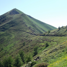
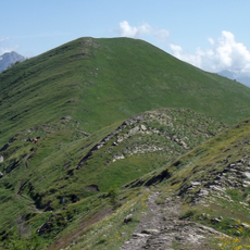
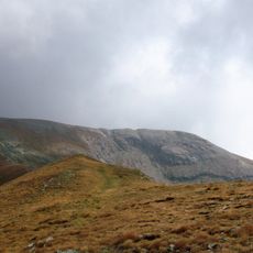
Monte Bertrand is a mountain peak in the Ligurian Alps that straddles the border between Piedmont, Italy and Provence-Alpes-Côte d'Azur, France. The summit reaches 2484 meters (8149 feet) and forms part of a continuous ridge system that divides the watersheds on both sides of the frontier.
The mountain belonged entirely to Italy until the Paris Peace Treaties of 1947 redrew the border after World War II. This territorial change made the peak a boundary marker between two nations and reshaped the political geography of the Alpine region.
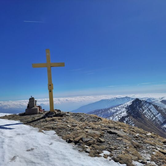
The mountain's summit features a traditional stone cairn and cross visible from both Upega village in Italy and Morignolo in France.
Hikers should have good navigation skills as the routes to the summit are unmarked and weather conditions can change rapidly at this elevation. Proper mountain experience and careful planning are important for a safe and successful ascent.
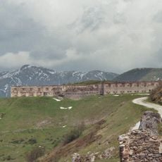
The summit is marked by a cairn and a summit cross, and the peak is the highest of the Saccarello chain. A former military dirt road runs along the Italian side, linking Monesi, a village of Triora, with the Colle di Tenda.
The community of curious travelers
AroundUs brings together thousands of curated places, local tips, and hidden gems, enriched daily by 92,895 contributors worldwide.