La Socarrada, Mountain summit in Eastern Pyrenees, France
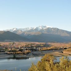
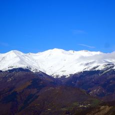
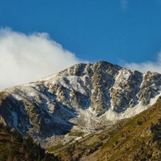
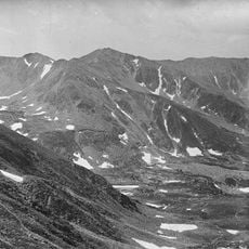
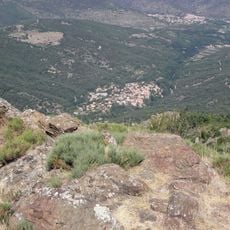
La Socarrada is a mountain summit located in the Eastern Pyrenees, positioned between the villages of Estoher and Taurinya in the Pyrénées-Orientales department. This peak stands at approximately 2040 meters and forms a visible landmark in the surrounding ridge.
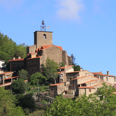
The mountain has served local communities for centuries as a natural boundary marker between administrative regions. Its location shaped how surrounding settlements developed and interacted with one another.
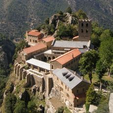
Local mountaineering groups have established multiple marked trails leading to the summit, creating a network that connects different villages in the region.
The ascent needs proper preparation with sturdy hiking boots, warm clothing, and plenty of water for drinking. Starting early in the day is wise, especially during warmer months, to allow time for both the climb and descent.
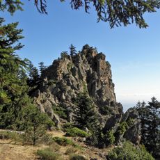
The rock walls show clear layered patterns that reflect the tectonic shifts that created the Pyrenees. These geological features are visible during the climb and tell the story of mountain formation.
The community of curious travelers
AroundUs brings together thousands of curated places, local tips, and hidden gems, enriched daily by 60,000 contributors worldwide.