Enable Location

We need your location to show you interesting places around you

Discover nearby places

Find interesting locations and hidden gems around you

Precise directions

Get accurate directions and distances to places

Your location is never shared with other users. It's only used when you tap the location button.

Massif de Tanneron

Log in to your account

Start exploring — it's free

Trusted by 63,172 travelers worldwide

Continue with Google
Continue with Apple
or

We will send you a code to connect

By continuing, you accept our Terms and Conditions and our Privacy Policy

Check your inbox

We've sent a pincode in your inbox. Please enter the code below.

Massif de Tanneron
Discussion Reviews 1 Photos 1 Collections
600+ Popularity

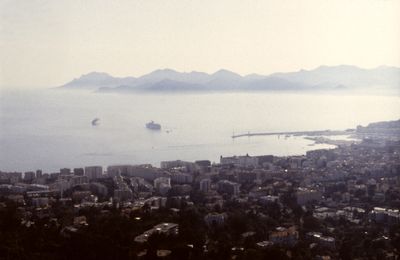
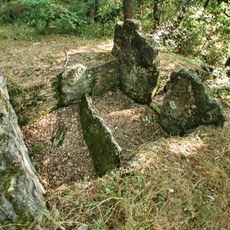
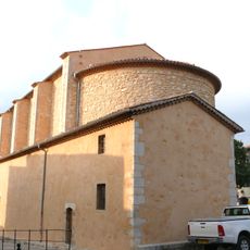
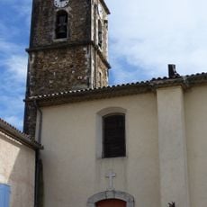
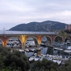
Massif de Tanneron, Upland region near Cannes, France.

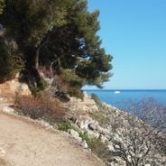
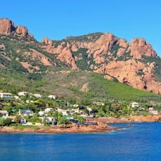
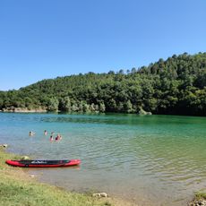
The Massif de Tanneron is a highland area near Cannes with steep slopes, rocky ridges, and Mediterranean plant growth. The terrain is crossed by numerous trails offering changing views of valleys and coastal areas.

The mountain massif formed through geological processes over millions of years as part of the mountain-building activity between the Pyrenees and Provence. Today's shape was sculpted by erosion and tectonic shifts that continue to influence the landscape.

Local residents have cultivated mimosa trees on the slopes for generations, and these yellow blooms become a defining feature of the landscape during winter months. The trees hold deep roots in the community's identity and are cherished by both inhabitants and visitors.

You can explore the area from several access points, with marked trails of varying difficulty for walkers of different abilities. Bring sturdy footwear since the paths can be rocky and the slopes demand effort.

The area holds one of Europe's largest concentrations of mimosa plantations, drawing many visitors each year during the winter bloom season. This density makes it a key destination for anyone wanting to experience the flowering abundance of these months.

The community of curious travelers

AroundUs brings together thousands of curated places, local tips, and hidden gems, enriched daily by 60,000 contributors worldwide.

Start exploring
Location
GPS coordinates
43.56056,6.82528
Latest update
December 6, 2025 17:48
Hiking along the French Riviera: Coastal paths between Nice and Monaco, from Cap d'Ail to the Gorges du Verdon

Between Nice and Monaco, coastal trails provide the opportunity to explore the Mediterranean coastline through various routes. The Cap d'Ail Coastal Path, Nietzsche's Path in Èze with 400 meters of elevation gain, and the Mont Boron Park in Nice with its 11 kilometers of marked trails allow...

Reviews
Share your experience

No review yet

Discussions
Start a discussion...

No discussion yet

« Massif de Tanneron - Upland region near Cannes, France » is provided by Around Us (aroundus.com). Images and texts are derived from Wikimedia project under a Creative Commons license. You are allowed to copy, distribute, and modify copies of this page, under the conditions set by the license, as long as this note is clearly visible.

Discover hidden gems everywhere you go!

From secret cafés to breathtaking viewpoints, skip the crowded tourist spots and find places that match your style. Our app makes it easy with voice search, smart filtering, route optimization, and insider tips from travelers worldwide. Download now for the complete mobile experience.

Around Us App Screenshot

A unique approach to discovering new places

Le Figaro

All the places worth exploring

France Info

A tailor-made excursion in just a few clicks

20 Minutes

Around Us
Travel Guide & Maps
Download

Send to your phone

QR Code
1

Open the camera app on your mobile.

2

Point at the QR code with your camera. A notification will appear.

3

Tap the notification to open the link.