
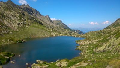
Lacs de la Tempête, lacs en France
Location: Cevins
Elevation above the sea: 2,100 m
GPS coordinates: 45.62172,6.53841
Latest update: June 23, 2025 10:58
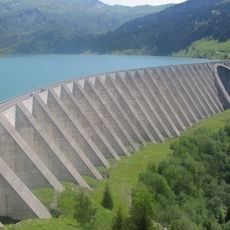
Roselend Dam
9.2 km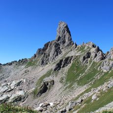
Pierra Menta
8.9 km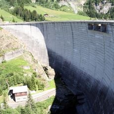
Saint-Guérin Dam
4.5 km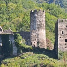
Château de Chantemerle
7.5 km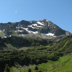
Grand Mont
1.1 km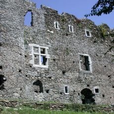
Manoir de Blay
7.7 km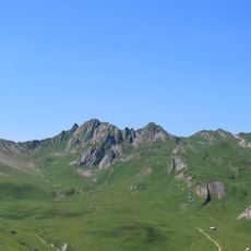
Mont Coin
6.5 km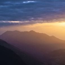
Mont Mirantin
7.6 km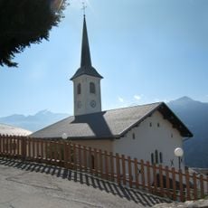
Église Saint-Barthélemy de Granier
10.3 km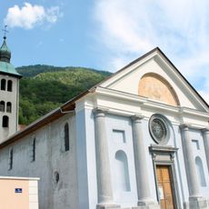
Église Saint-Nicolas de Cevins
7.1 km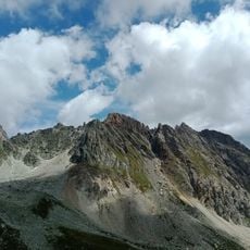
Pointe de Gargan
10.5 km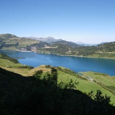
Lac de Roselend
10 km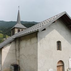
Église Saint-Germain de Grand-Nâves
7 km
Église Saint-Martin de Rognaix
8.1 km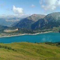
La Grande Berge
10.2 km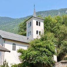
Église Saint-Eusèbe de Feissons-sur-Isère
9.1 km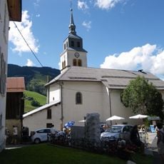
Église Saint-Jean-Baptiste d'Arêches
7.5 km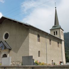
Église Saint-Pierre de Nâves-Fontaine
8.5 km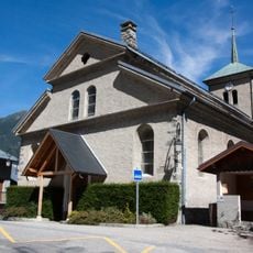
Église Saint-Jean-Baptiste de Pussy
10.2 km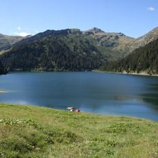
Lac de Saint-Guérin
4.2 km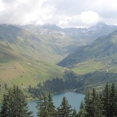
Ruisseau de Treicol
7 km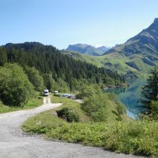
Scenic viewpoint
10.6 km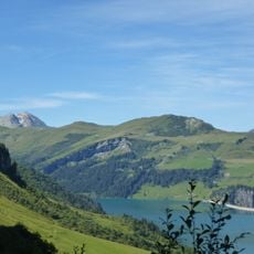
Roche Parstire
7.7 km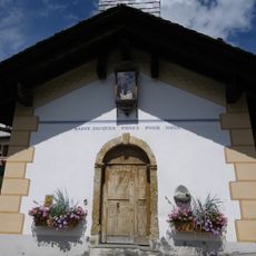
Chapelle Saint-Jacques de Boudin
7.8 km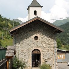
Chapelle de Molençon
9.7 km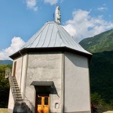
Chapelle Notre-Dame-des-Neiges de Cevins
7.1 km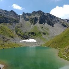
Roc de la Charbonnière
8.4 km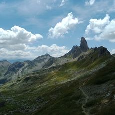
Pointe de Cerdosse
8.8 kmReviews
Visited this place? Tap the stars to rate it and share your experience / photos with the community! Try now! You can cancel it anytime.
Discover hidden gems everywhere you go!
From secret cafés to breathtaking viewpoints, skip the crowded tourist spots and find places that match your style. Our app makes it easy with voice search, smart filtering, route optimization, and insider tips from travelers worldwide. Download now for the complete mobile experience.

A unique approach to discovering new places❞
— Le Figaro
All the places worth exploring❞
— France Info
A tailor-made excursion in just a few clicks❞
— 20 Minutes