Kuttanad, Agricultural delta region in Kerala, India
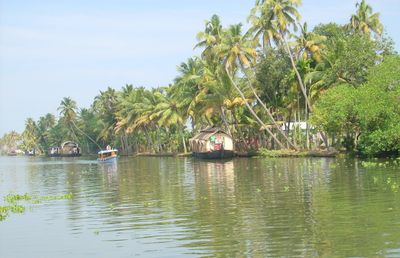
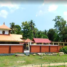
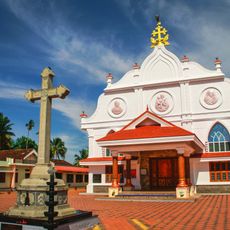
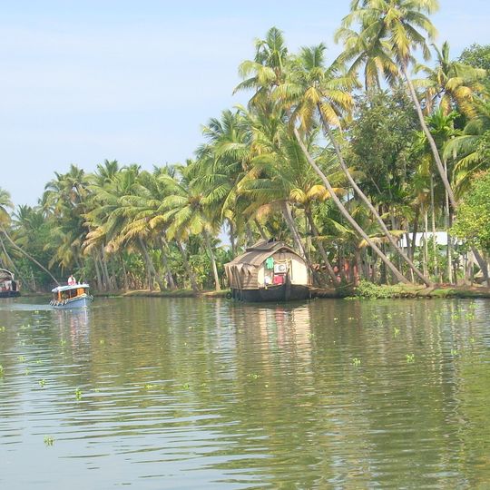
Kuttanad is an agricultural delta region within Alappuzha district in Kerala, formed by a mosaic of rice paddies, marshes, ponds, gardens, and waterways connected through rivers and canals. The area sits partly below sea level and spreads across numerous villages and settlements threaded by waterways and protected by narrow embankments.
The region transformed from forest into agricultural land following a major fire, with the original name Chuttanad gradually shifting to Kuttanad over time. Draining of the marshes and development of the below-sea-level polders began in the 19th century and intensified through the 20th century.
The long snake boats carry names and are maintained by village communities across generations, with each boat holding its own story and connection to the region. During races, rowers sing rhythmic songs known as Vanchipattu that set the pace for synchronized paddling movements.
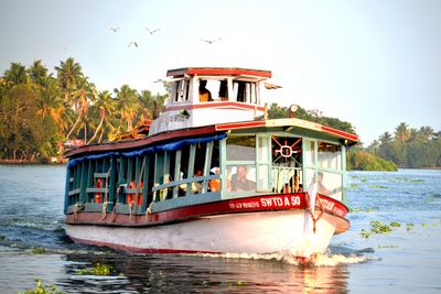
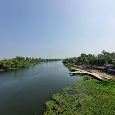
Four major rivers of Kerala - Pamba, Meenachil, Achankovil, and Manimala - flow through the area and determine water levels and farming conditions throughout the year. Travel between villages and fields often happens by small boat, as many sections are accessible only through waterways.
The Kuttanad Below Sea-level Farming System operates between 1.2 and 3 meters (4 and 10 feet) below sea level and remains the only such system in India. Farmers continuously pump water from the fields and maintain narrow earthen bunds to prevent saltwater intrusion during monsoon seasons.
The community of curious travelers
AroundUs brings together thousands of curated places, local tips, and hidden gems, enriched daily by 91,407 contributors worldwide.