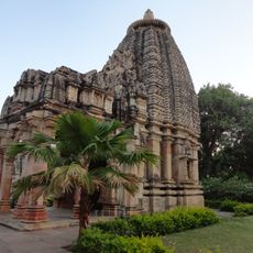
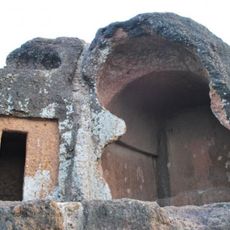
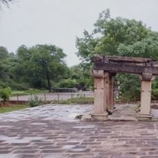
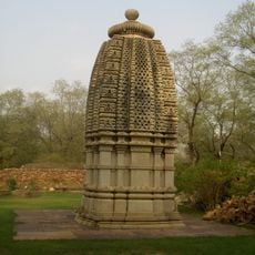
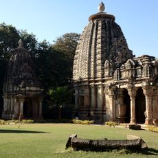
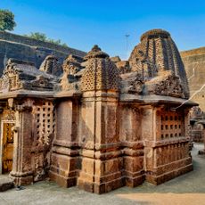
Jhalawar district, Administrative district in southeastern Rajasthan, India.
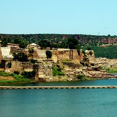
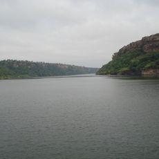
Jhalawar district is an administrative area in southeastern Rajasthan that covers roughly 6,000 square kilometers. The Kali Sindh River runs through it and shapes both the landscape and how people settle here.
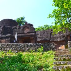
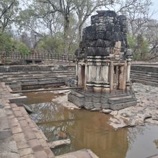
The area was a princely state ruled by the Jhala Rajputs until independence in 1947. After that, it became part of the modern Indian administrative system.
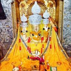
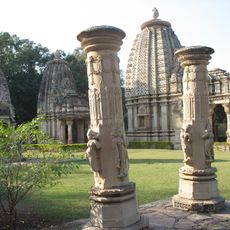
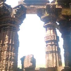
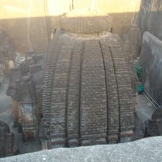
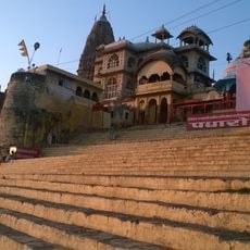
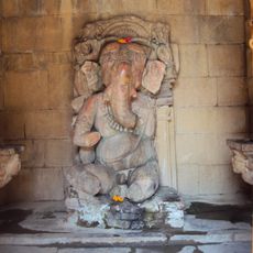
The name comes from the Jhala Rajput clan who ruled this region. People here practice traditional crafts and observe customs that shape the local way of life.
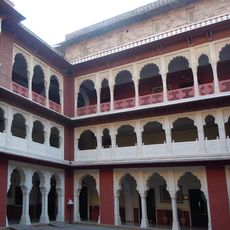
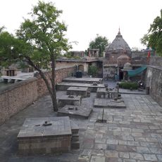
The district is divided into eight administrative subdivisions with several service centers spread throughout. Visitors should know that the monsoon season brings heavy rainfall to this region.
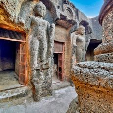
One area here, particularly the town of Manoharthana, receives so much rain that locals call it the Cherrapunji of Rajasthan. This unusual rainfall shapes the plants that grow and affects how people live there.
The community of curious travelers
AroundUs brings together thousands of curated places, local tips, and hidden gems, enriched daily by 60,000 contributors worldwide.