Enable Location

We need your location to show you interesting places around you

Discover nearby places

Find interesting locations and hidden gems around you

Precise directions

Get accurate directions and distances to places

Your location is never shared with other users. It's only used when you tap the location button.

Pratapgarh district

Log in to your account

Start exploring — it's free

Trusted by 62,559 travelers worldwide

Continue with Google
Continue with Apple
or

We will send you a code to connect

By continuing, you accept our Terms and Conditions and our Privacy Policy

Check your inbox

We've sent a pincode in your inbox. Please enter the code below.

Pratapgarh district

Pratapgarh district, Administrative district in Prayagraj division, India.

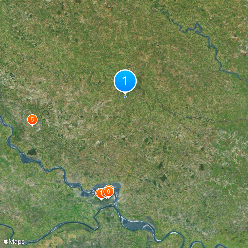
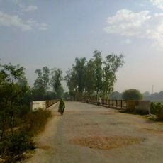
Pratapgarh district is an administrative region in Uttar Pradesh that spreads across rural land with thousands of villages throughout. The area shows the typical landscape of northern India's plains with fields and settlements that define rural life.

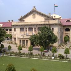
The area was part of the North-Western Provinces during British rule and later became part of the United Provinces. These administrative changes shaped how the region developed over time.

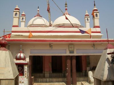
Different communities in the district celebrate regional festivals and speak their own dialects that shape daily life. These local traditions remain visible in the villages and markets today.

The district has schools, hospitals, and administrative offices spread across its many villages. The best time to visit is between October and March when the weather is more comfortable.

The region is known for growing Aonla fruit, which is produced here on a large scale. This fruit shapes the agricultural economy and is an important trade item for local farmers.

The community of curious travelers

AroundUs brings together thousands of curated places, local tips, and hidden gems, enriched daily by 60,000 contributors worldwide.

Start exploring
Capital city
Pratapgarh, Uttar Pradesh
Shares border with
Kaushambi district, Sultanpur district
GPS coordinates
25.89440,81.93880
Latest update
December 14, 2025 21:02
« Pratapgarh district - Administrative district in Prayagraj division, India » is provided by Around Us (aroundus.com). Images and texts are derived from Wikimedia project under a Creative Commons license. You are allowed to copy, distribute, and modify copies of this page, under the conditions set by the license, as long as this note is clearly visible.

Discover hidden gems everywhere you go!

From secret cafés to breathtaking viewpoints, skip the crowded tourist spots and find places that match your style. Our app makes it easy with voice search, smart filtering, route optimization, and insider tips from travelers worldwide. Download now for the complete mobile experience.

Around Us App Screenshot

A unique approach to discovering new places

Le Figaro

All the places worth exploring

France Info

A tailor-made excursion in just a few clicks

20 Minutes

Around Us
Travel Guide & Maps
Download

Send to your phone

QR Code
1

Open the camera app on your mobile.

2

Point at the QR code with your camera. A notification will appear.

3

Tap the notification to open the link.