India–Pakistan border, International border in South Asia.
The border between India and Pakistan runs roughly 3,300 kilometers and crosses mountain ranges, desert landscapes, and densely populated plains from the Kashmir region to the Sir Creek estuary. It is visible from space at night through a continuous chain of floodlights operated by armed units from both countries.
The line was drawn in 1947 when British India was divided into two independent states, with British lawyer Cyril Radcliffe using religious demography as the main criterion. This process led to massive population movements and has shaped the region ever since.
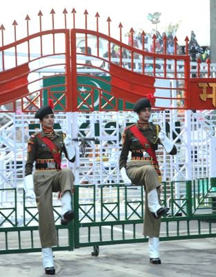
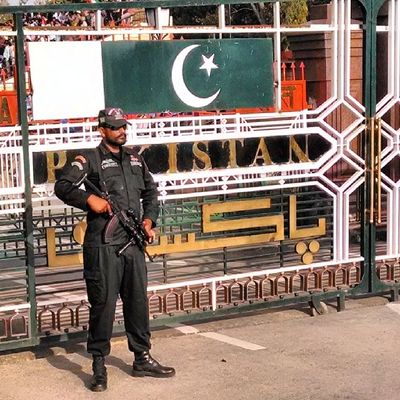
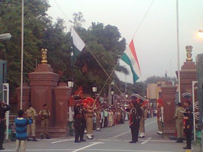
The ceremony at the border begins each evening shortly before sunset, when soldiers march in precise steps and lower flags. Thousands of visitors gather on both sides to watch the ritual and clap and sing in a moment of national devotion.
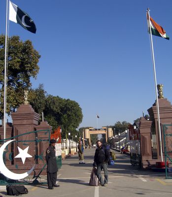
Crossing is only possible for tourists at a few designated points, with Wagah-Attari being the best known spot for travelers. Visitors should arrive several hours before the evening ceremony as seating is limited and security checks are mandatory.
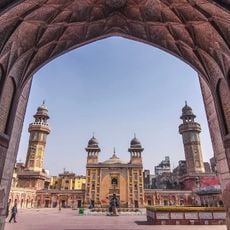
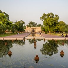
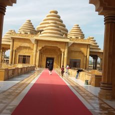
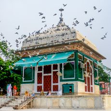
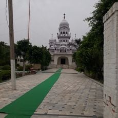
A corridor allows Indian pilgrims visa-free visits to a shrine on Pakistani territory, where they need to travel only a short distance from the border. This passage was opened in 2019 and greatly facilitates religious access for believers of the Sikh community.
The community of curious travelers
AroundUs brings together thousands of curated places, local tips, and hidden gems, enriched daily by 60,000 contributors worldwide.