Siliguri Corridor, Geopolitical corridor in Siliguri subdivision, India.
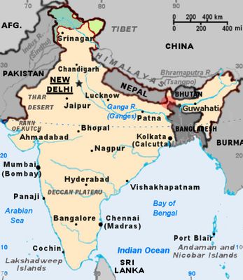
The Siliguri Corridor is a narrow stretch of land in the Siliguri subdivision of India that connects the northeastern states with the rest of the country. It lies between the borders of Bangladesh to the south, Nepal to the north and Bhutan to the northeast, measuring roughly 22 kilometers (14 miles) at its narrowest point.
The area took shape after the partition of the Indian subcontinent in 1947, when new borders were drawn and East Pakistan was created. The border drawing left only this narrow passage between mainland India and the northeastern regions.
Residents here often speak several languages in daily life and switch between Bengali, Nepali and Hindi depending on who they talk to. Local markets sell goods from Nepal, Bhutan and Bangladesh side by side, reflecting the border position of the area.
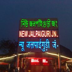
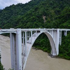
Several major roads and railway lines cross the area, linking cities in the northeast with Kolkata and other major centers. Travelers can see dense settlements, tea gardens and small towns stretching along the transport routes.
The terrain sits so close to three international borders that in some spots you can look from one country into another within a few kilometers. Military installations and border posts are visible along the route, reminding visitors of the strategic importance of this narrow link.
The community of curious travelers
AroundUs brings together thousands of curated places, local tips, and hidden gems, enriched daily by 60,000 contributors worldwide.