Bharatpur I community development block, Community development block in Kandi subdivision, India
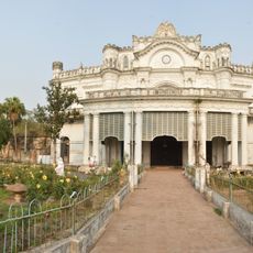
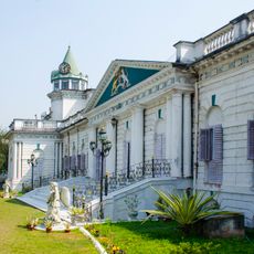
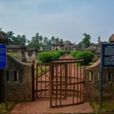
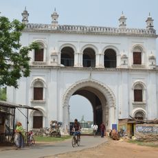
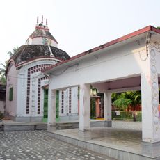
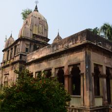
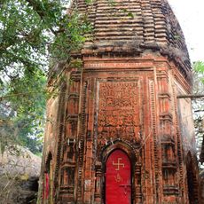
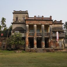
Bharatpur I is a community development block located in Kandi subdivision within Murshidabad district, spanning across 82 inhabited villages within an area of approximately 183 square kilometers. The block functions as an administrative unit that organizes essential public services and governance for the rural population across these settlements.
The block was established as an administrative unit during the restructuring of West Bengal's districts to better manage rural areas. Its structure evolved over time to address the growing needs of local communities.
The population of 172,702 residents includes 57 percent Muslims and 42 percent Hindus, reflecting the religious diversity of this administrative region.
The block operates one primary health centre and two additional health facilities that serve the local population's medical needs. Access to these services is important for anyone traveling through or living in this rural region.
Every inhabited village in the block receives electrical power, which is notable for a rural region of this size. Additionally, more than 90 percent of settlements have access to drinking water infrastructure.
Location: Kandi subdivision
Elevation above the sea: 19 m
Shares border with: Bharatpur II community development block, Ketugram I community development block, Burwan community development block, Kandi community development block, Berhampore community development block, Beldanga II community development block
GPS coordinates: 23.87910,88.08829
Latest update: December 12, 2025 09:02
Krishnath College
28.5 km
Khushbagh
36 km
Attahas Shaktipeeth
18.9 km
Fullara
29 km
Wasif Manzil
38.5 km
Palashi Monument
18.6 km
Motijheel Jama Mosque
36.8 km
Chawk Masjid
38.8 km
Cossimbazar Palace of Roys
33 km
Juranpur Satipith
22 km
Yellow Mosque
38.8 km
Dutch Cemetery
32.7 km
Residency Cemetery
30.1 km
St. Mary Armenian Church
32.1 km
Ratneshwar temple
34.6 km
White mosque
38.4 km
Tomb of Mir Madan
14.1 km
Siraj ud-Daulah's grave
35.8 km
Dayamoyee Kali temple
32 km
Samaj Bari
31.4 km
Nizamat Fort South Gate
38.3 km
Tomb of Sujauddin
38.5 km
Dainhat charchala temple
31.6 km
Aatchala temple of Chandra family
31.5 km
Kishore Kishori temple
31.4 km
Radhagobinda temple
34 km
Kalagni Rudradev temple
20.8 km
Ghosh Chowdhury Zamindar house
38.4 kmVisited this place? Tap the stars to rate it and share your experience / photos with the community! Try now! You can cancel it anytime.
Discover hidden gems everywhere you go!
From secret cafés to breathtaking viewpoints, skip the crowded tourist spots and find places that match your style. Our app makes it easy with voice search, smart filtering, route optimization, and insider tips from travelers worldwide. Download now for the complete mobile experience.
A unique approach to discovering new places❞
— Le Figaro
All the places worth exploring❞
— France Info
A tailor-made excursion in just a few clicks❞
— 20 Minutes