Enable Location

We need your location to show you interesting places around you

Discover nearby places

Find interesting locations and hidden gems around you

Precise directions

Get accurate directions and distances to places

Your location is never shared with other users. It's only used when you tap the location button.

Log in to your account

Start exploring — it's free

Trusted by 67,489 travelers worldwide

Continue with Google
Continue with Apple
or

We will send you a code to connect

By continuing, you accept our Terms and Conditions and our Privacy Policy

Check your inbox

We've sent a pincode in your inbox. Please enter the code below.

Purulia II community development block
Discussion Reviews Photo
2.7k Popularity

Purulia II community development block, Administrative block in Purulia Sadar subdivision, India

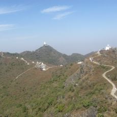
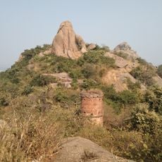
Purulia II is an administrative block in Purulia Sadar subdivision, covering approximately 282 square kilometers of land in West Bengal. The landscape is marked by the Kangsabati River, which forms a natural boundary across the territory, with agriculture as the primary economic activity.

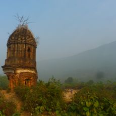
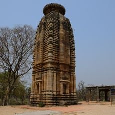
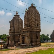
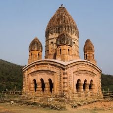
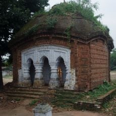
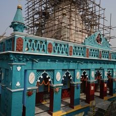
This region was part of the Vajra-bhumi kingdom during the 5th century, and experienced major administrative change in 1956 when Manbhum district was divided between Bihar and West Bengal. That partition established the foundation for the block's present boundaries and governance structure.

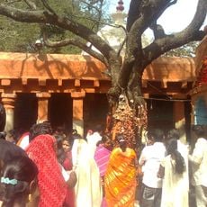
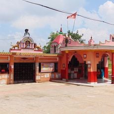
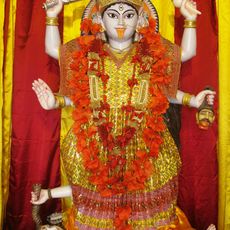
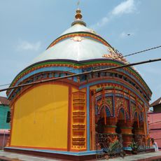
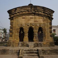
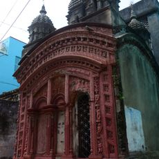
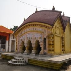
The communities here speak Bengali as their main language, and Hindu traditions shape much of daily life and local customs. Visitors can observe how these beliefs influence local celebrations, gathering spaces, and the way people interact with their surroundings.

The block has complete electricity coverage across inhabited villages and roads connect major settlements, though travel during monsoon season can be challenging. Visitors should plan trips during drier months when roads are more accessible and the countryside is easier to explore.

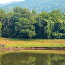
Farmers here grow rice as the primary crop, but wheat and mustard are also cultivated extensively, giving the agricultural pattern a distinctive multi-crop character. This diversity in farming practices reflects the soil conditions and climate that support varied produce across the seasons.

The community of curious travelers

AroundUs brings together thousands of curated places, local tips, and hidden gems, enriched daily by 60,000 contributors worldwide.

Start exploring
Elevation above the sea
240 m
Shares border with
Purulia I community development block, Hura community development block, Para community development block
GPS coordinates
23.43002,86.37709
Latest update
December 12, 2025 14:21
Reviews
Share your experience

No review yet

Discussions
Start a discussion...

No discussion yet

« Purulia II community development block - Administrative block in Purulia Sadar subdivision, India » is provided by Around Us (aroundus.com). Images and texts are derived from Wikimedia project under a Creative Commons license. You are allowed to copy, distribute, and modify copies of this page, under the conditions set by the license, as long as this note is clearly visible.

Discover hidden gems everywhere you go!

From secret cafés to breathtaking viewpoints, skip the crowded tourist spots and find places that match your style. Our app makes it easy with voice search, smart filtering, route optimization, and insider tips from travelers worldwide. Download now for the complete mobile experience.

Around Us App Screenshot

A unique approach to discovering new places

Le Figaro

All the places worth exploring

France Info

A tailor-made excursion in just a few clicks

20 Minutes

Around Us
Travel Guide & Maps
Download

Send to your phone

QR Code
1

Open the camera app on your mobile.

2

Point at the QR code with your camera. A notification will appear.

3

Tap the notification to open the link.