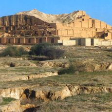
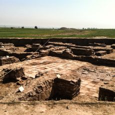
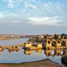
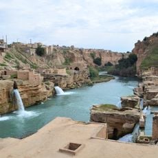
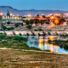
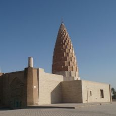
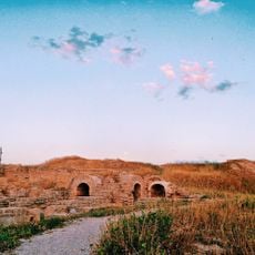
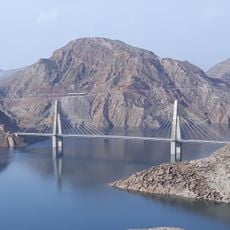
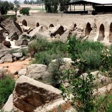
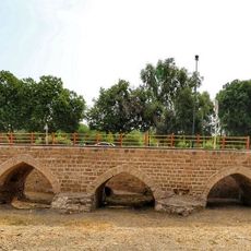
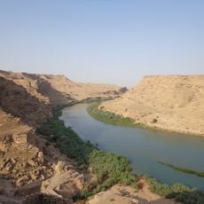
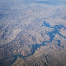
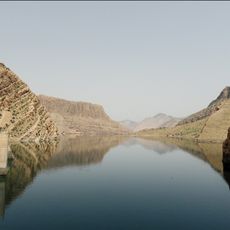
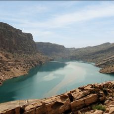
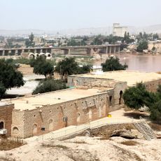
Central District, district (bakhsh) in Masjed Soleyman County, Khuzestan Province, Iran
Location: Masjed Soleyman County
GPS coordinates: 32.08333,49.20000
Latest update: March 4, 2025 02:47
Chogha Zanbil
64.6 km
Gundeshapur
68.1 km
Band-e Kaisar
33.3 km
Shushtar Historical Hydraulic System
33.3 km
Kul-e Farah
72.7 km
Eshkaft-e Salman
68.1 km
Shahid Abbaspour Dam
38.5 km
Jameh Mosque of Shushtar
33.6 km
Mizan Dam
32.2 km
Ya'qub ibn al-Layth Mausoleum
68.6 km
Salasel Castle
33 km
Lali Bridge
23.1 km
Lashkar Bridge
34.3 km
Tagh-e Tavileh
67.3 km
Shah-Ali Bridge
35.2 km
Bardneshandeh Temple
12.7 km
Tang-e Aghili
30.5 km
Khoda Afarin Dam (Shushtar)
33.7 km
Masjed Soleyman Fire Temple
13.5 km
Mostowfi House (Shushtar)
33.2 km
Shavur Dam
75.8 km
Daryācheh-ye Sadd-e Shahīd ‘Abbāspūr
44.7 km
کوشک نورآباد
67.1 km
Imamzadeh Abdullah (Shushtar)
34.1 km
Gotvand Lake
22.8 km
Karun-1 Lake
48.4 km
Karun-2 Lake
28 km
Azadegan Bridge
33.5 kmReviews
Visited this place? Tap the stars to rate it and share your experience / photos with the community! Try now! You can cancel it anytime.
Discover hidden gems everywhere you go!
From secret cafés to breathtaking viewpoints, skip the crowded tourist spots and find places that match your style. Our app makes it easy with voice search, smart filtering, route optimization, and insider tips from travelers worldwide. Download now for the complete mobile experience.
A unique approach to discovering new places❞
— Le Figaro
All the places worth exploring❞
— France Info
A tailor-made excursion in just a few clicks❞
— 20 Minutes