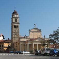
Trivero, former Italian comune
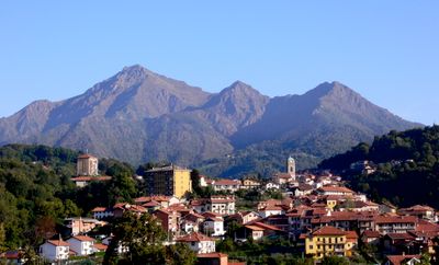
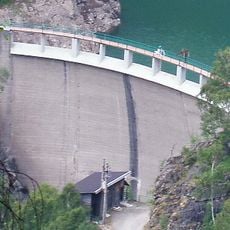
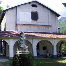
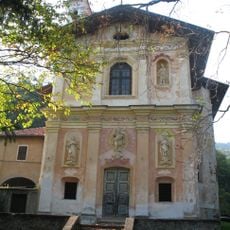
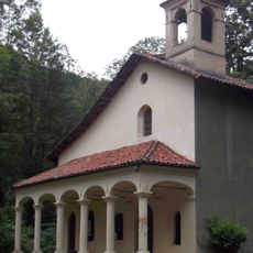
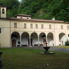
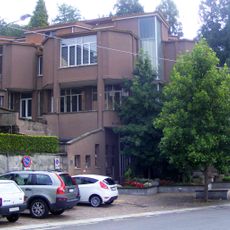
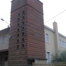
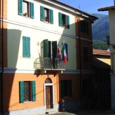
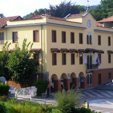
Trivero is an abolished municipality in Valdilana, a small mountain town in Piedmont built around a historic wool industry. The town spreads along streams and rivers with old factory buildings, residences, and stone bridges showing how water powered early textile production.
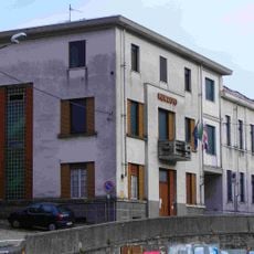
Trivero functioned as an independent municipality for centuries before merging into the larger Valdilana administrative area. The town gained regional recognition for producing fine wool fabrics, a reputation that established its economic foundation.
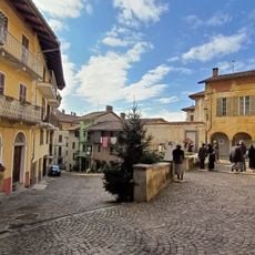
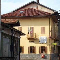
Trivero is rooted in wool production, a craft that shaped community identity for generations. Walking through its streets, you notice how this heritage remains woven into daily life and the town's character.
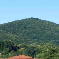
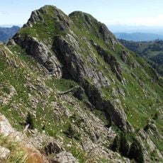
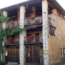
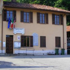
Prepare for quiet narrow streets with sturdy footwear since pathways are uneven and trails lead into surrounding forests. The town sits at about 2,600 feet (800 meters) elevation, so mountain weather changes often and layered clothing works best.
Artist Daniel Buren created an installation on the wool factory roof as part of the ALL'APERTO project, blending modern art with industrial heritage. This unexpected artistic addition shows how the town bridges traditional craft with contemporary expression.
The community of curious travelers
AroundUs brings together thousands of curated places, local tips, and hidden gems, enriched daily by 60,000 contributors worldwide.