
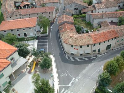
Budoia, Italian comune
Location: ente di decentramento regionale di Pordenone
Capital city: Budoia
Elevation above the sea: 135 m
Shares border with: Aviano, Fontanafredda, Polcenigo, Tambre
Website: http://comune.budoia.pn.it
GPS coordinates: 46.05000,12.53333
Latest update: March 4, 2025 17:24
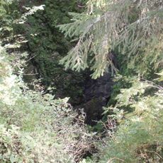
Bus de la Lum
8.2 km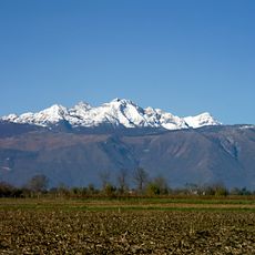
Monte Cavallo
9.3 km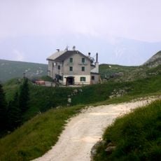
Pizzoc
14.5 km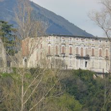
Castello di Polcenigo
3.3 km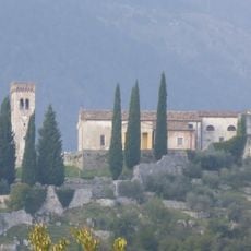
Castello di Caneva
10.1 km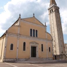
Sacile cathedral
11.1 km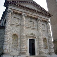
Santa Maria Assunta
6.7 km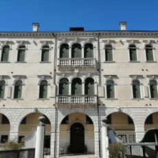
Palazzo Fullini-Zaia
3.2 km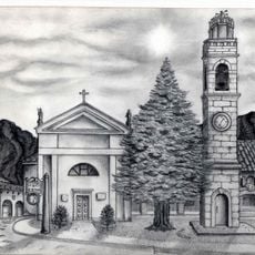
Chiesa di San Giorgio
9.1 km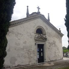
San Vigilio
11.1 km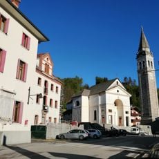
Chiesa dei Santi Ermacora e Fortunato
12.2 km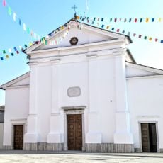
San Quirino
11.4 km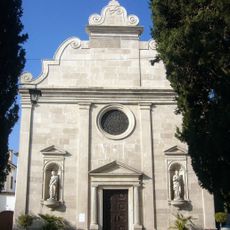
Chiesa di Santa Maria
2.2 km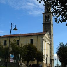
Chiesa di San Pancrazio
13.2 km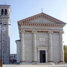
San Bartolomeo Apostolo
8 km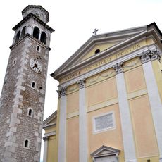
Chiesa di Sant'Andrea Apostolo
727 m
Chiesa di San Giorgio Martire
12.8 km
Sant'Antonio di Padova
13.9 km
Chiesa di Santa Maria Maddalena
3.3 km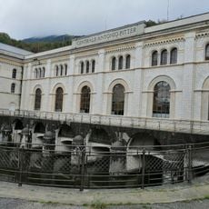
A. Pitter hydroelectric plant Malnisio
13.4 km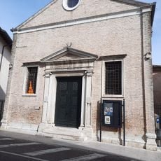
Ex Chiesa di San Gregorio
11 km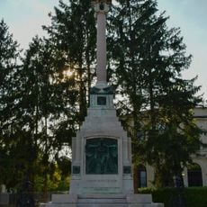
Monumento ai caduti
10.7 km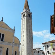
Torrione del duomo
11.1 km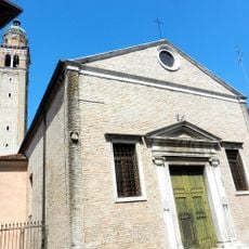
San Gregorio
11 km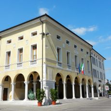
Town hall
10.9 km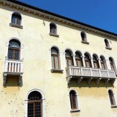
Palazzo Ragazzoni
10.8 km
Bagolaro
12.2 km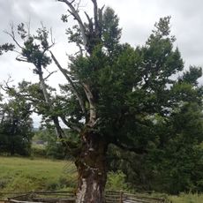
Fagheron di Sant'Anna
10.7 kmVisited this place? Tap the stars to rate it and share your experience / photos with the community! Try now! You can cancel it anytime.
Discover hidden gems everywhere you go!
From secret cafés to breathtaking viewpoints, skip the crowded tourist spots and find places that match your style. Our app makes it easy with voice search, smart filtering, route optimization, and insider tips from travelers worldwide. Download now for the complete mobile experience.

A unique approach to discovering new places❞
— Le Figaro
All the places worth exploring❞
— France Info
A tailor-made excursion in just a few clicks❞
— 20 Minutes