Lariano, Italian comune
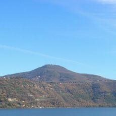
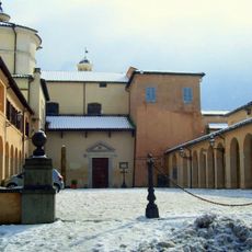
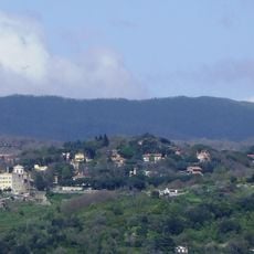
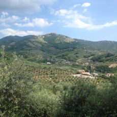
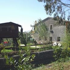
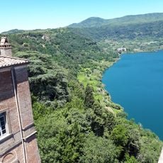
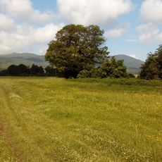
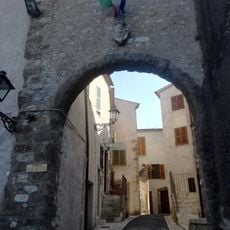
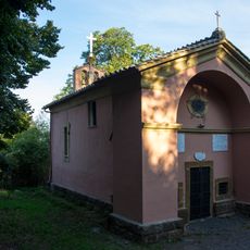
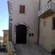
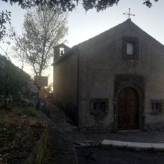
Lariano is a small town located in the Castelli Romani hills south of Rome, characterized by narrow streets and old stone houses with tiled roofs. The surrounding landscape features rolling hills, farmland, and wooded areas that create a peaceful setting near the town.
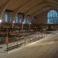
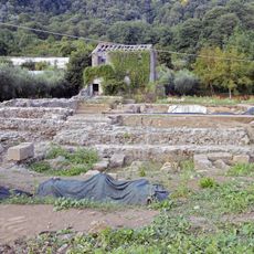
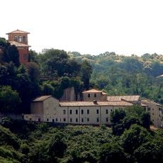
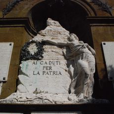
In ancient times, Lariano served as an important defensive position for Rome from a fort on Monte Algidus. During the Middle Ages, a castle was built that protected and controlled the surrounding territory for centuries.
Lariano celebrates local traditions, especially the Porcini Mushroom Festival in September, where visitors can taste dark bread and cellitti dumplings made from simple flour and water. These food traditions and seasonal gatherings show how the community keeps its customs alive through shared meals and events.
Lariano is about 33 miles (53 kilometers) from Rome and can be reached easily by car or public transport. Wear comfortable shoes for walking through the narrow streets and to explore the trails in the surrounding woods and hills.
Lariano features two large wooden benches called Big Benches installed on the hillside, offering wide views of the countryside and the sea on clear days. These art installations are accessible to all visitors and provide a memorable spot to rest while enjoying the panoramic landscape.
The community of curious travelers
AroundUs brings together thousands of curated places, local tips, and hidden gems, enriched daily by 60,000 contributors worldwide.