Palombara Sabina, Italian comune
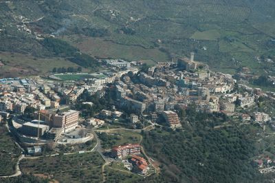
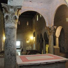
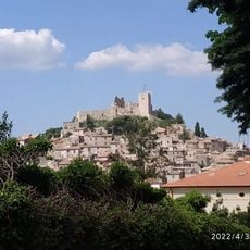
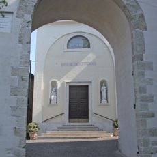
Palombara Sabina is a commune in the Metropolitan City of Rome, set on a hill in the Sabine region northeast of the capital. The old town is made up of stone buildings, narrow paved lanes, and a medieval core that still defines the overall shape of the settlement.
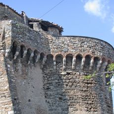
The settlement grew during the Middle Ages under the control of the Palombara family, who held it for several centuries. Their influence over the town left a clear mark on its layout and architecture, much of which has survived to the present day.
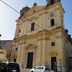
The name Palombara Sabina comes directly from the Palombara family, who shaped life in this area for generations. The church and main square sit at the heart of the old town, drawing locals together as they have for centuries.
The old town is best visited on foot, as the lanes are too narrow for cars and the slope requires some walking. Comfortable shoes are a good idea since the terrain rises steadily and involves steps along the way.
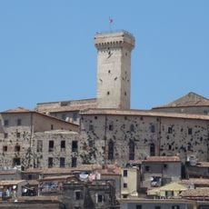
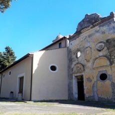
The Palombara palace was known in the 17th century as a meeting place for alchemists, which was very unusual for a rural hill town. One of them is said to have left an engraved inscription on one of the town gates, a text that has puzzled researchers ever since.
The community of curious travelers
AroundUs brings together thousands of curated places, local tips, and hidden gems, enriched daily by 60,000 contributors worldwide.