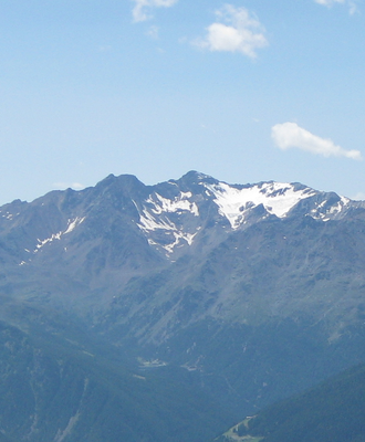
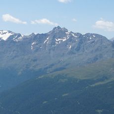
Hintere Eggenspitze, Mountain summit in Ortler Alps, Italy
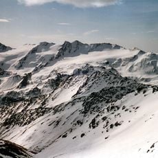
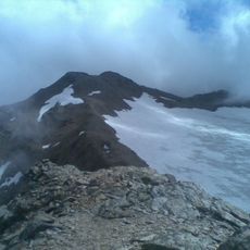
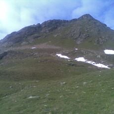
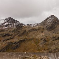
Hintere Eggenspitze, also called Cima Sternai, is a mountain in the Ortler Alps standing at 3,443 meters high. It sits along the border between South Tyrol and Trentino, forming a natural boundary between two distinct Alpine regions.
Julius Payer and Johann Pinggera made the first recorded climb to this peak in 1868, marking its entry into mountaineering records. This ascent established the mountain's place in Alpine climbing history.
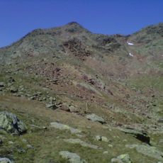
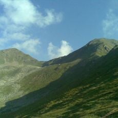
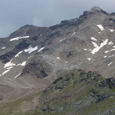
The mountain features traditional stone markers called 'ometti di pietra', which serve as navigation aids and represent local Alpine climbing practices.
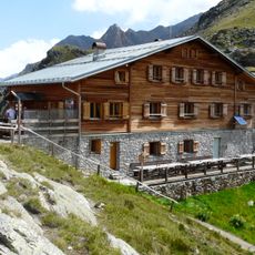
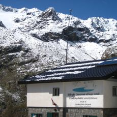
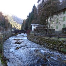
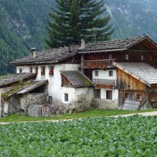
Various hiking trails lead to this peak, with the Gruensee loop from Sankt Gertraud being a popular route choice. You need good fitness level and should check weather conditions before heading out, as Alpine conditions can change quickly.
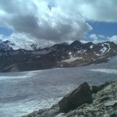
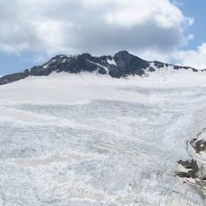
This summit marks the highest point of Val Saent and creates a geographic dividing line between the valleys of Rabbi and Ultimo. Many hikers overlook this geographical function while navigating the region.
The community of curious travelers
AroundUs brings together thousands of curated places, local tips, and hidden gems, enriched daily by 60,000 contributors worldwide.