
Daitō, city in Ōsaka Prefecture, Japan
Location: Osaka Prefecture
Inception: April 1, 1956
Elevation above the sea: 4 m
Shares border with: Ikoma, Osaka, Kadoma, Neyagawa, Shijōnawate, Higashiōsaka
Website: https://city.daito.lg.jp
GPS coordinates: 34.71200,135.62342
Latest update: April 1, 2025 04:23

Ishikiri Tsurugiya Shrine
3.9 km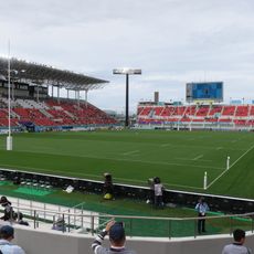
Hanazono Rugby Stadium
4.8 km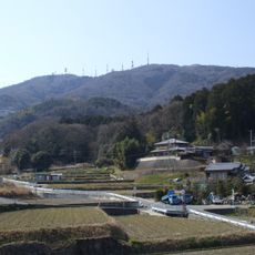
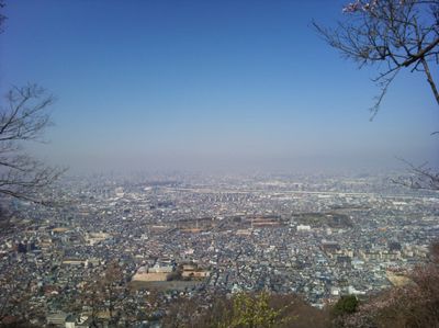
Mount Ikoma
6.3 km
Hōzan-ji
6.5 km
Ikoma Sanjō Amusement Park
6.2 km
Hiraoka Shrine
5.3 km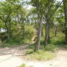
Iimoriyama Castle
3.2 km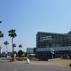
Tsurumiryokuchi Expo '90 Commemorative Park
4.5 km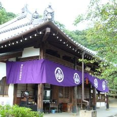
Jigen-ji
2.1 km
Shijonawate Gakuen Elementary, Junior and Senior High School
2.7 km
Kōnoike Shinden
2.6 km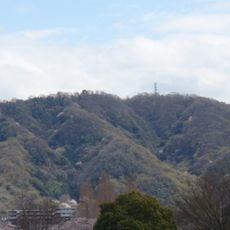
Mount Iimori
3.2 km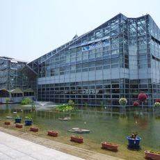
Sakuya Konohana Kan
4.6 km
Osaka Prefectural Central Library
4 km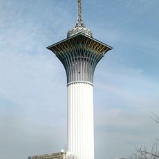
Tower of Life
4.4 km
Neyagawa Park
6 km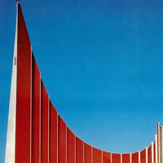
Павильон СССР на ЭКСПО-70
5.4 km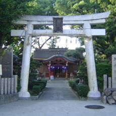
Imazu Hie-jinja
4.6 km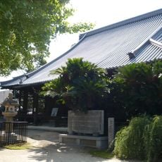
Gantokuji
4.2 km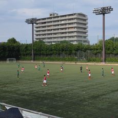
Tsurumi-ryokuchi Football Stadium
3.9 km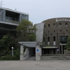
Eco Museum of Osaka
4.1 km
Osaka Municipal Tsurumi Library
4.6 km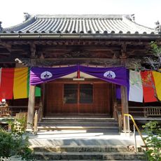
Jōkō-ji
3.7 km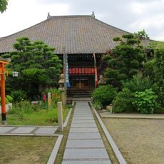
観音寺
4.8 km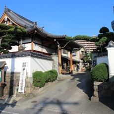
観音寺
3.5 km
Higashiosaka Art Museum
5 km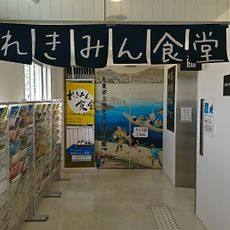
大東市立 歴史とスポーツふれあいセンター
1.8 km
LIFE
2.6 kmVisited this place? Tap the stars to rate it and share your experience / photos with the community! Try now! You can cancel it anytime.
Discover hidden gems everywhere you go!
From secret cafés to breathtaking viewpoints, skip the crowded tourist spots and find places that match your style. Our app makes it easy with voice search, smart filtering, route optimization, and insider tips from travelers worldwide. Download now for the complete mobile experience.

A unique approach to discovering new places❞
— Le Figaro
All the places worth exploring❞
— France Info
A tailor-made excursion in just a few clicks❞
— 20 Minutes