
Ishizuchi Tozan Ropeway, 石鎚山中腹までを結ぶ索道
Location: Saijo
Inception: August 1966
Official opening: August 1, 1968
Website: https://ishizuchi.com
GPS coordinates: 33.79933,133.14150
Latest update: March 7, 2025 22:58

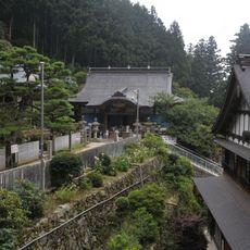
Yokomine-ji
5.1 km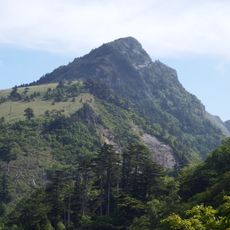
Mount Kamegamori
4.8 km
Houju-ji
11.2 km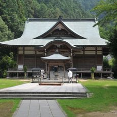
Maegami-ji
10.3 km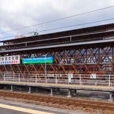
Shikoku Railway Cultural Center
13.4 km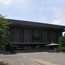
Kouon-ji
11.1 km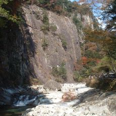
Omogo-kei
7.4 km
Kichijou-ji
10.8 km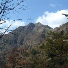
Mount Iyo-Fuji
9.9 km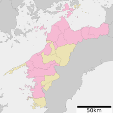
Ichikura farm
10 km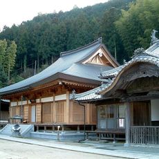
Gokurakuji
5.2 km
Saijō Jin'ya
13.9 km
Railway History Park in Saijo
13.4 km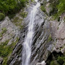
Goraikō Falls
5.1 km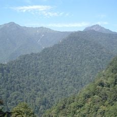
Mount Ninomori
6.3 km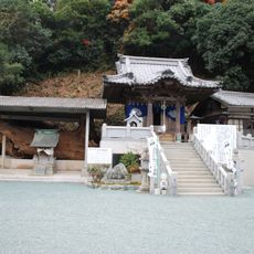
Shozen-ji
14 km
Mount Tebako
8.6 km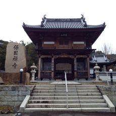
Hōkoku-ji
11 km
Mount Dōgamori (Ehime)
8.4 km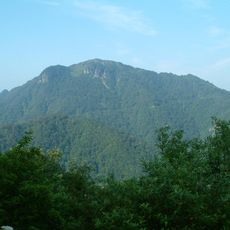
Mount Iwaguro
5.6 km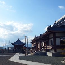
清楽寺
11.5 km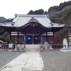
Kumyō-ji
14.5 km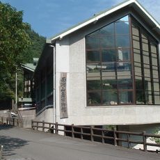
Omogo Mountain Museum
10.4 km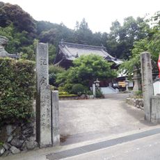
妙雲寺
10.5 km
Mount Nishikuromori
6 km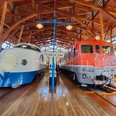
Railway History Park in SAIJO
13.4 km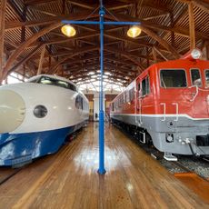
Shikoku Railway Culture Hall
13.4 km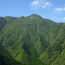
Mount Chichi
13.7 kmReviews
Visited this place? Tap the stars to rate it and share your experience / photos with the community! Try now! You can cancel it anytime.
Discover hidden gems everywhere you go!
From secret cafés to breathtaking viewpoints, skip the crowded tourist spots and find places that match your style. Our app makes it easy with voice search, smart filtering, route optimization, and insider tips from travelers worldwide. Download now for the complete mobile experience.

A unique approach to discovering new places❞
— Le Figaro
All the places worth exploring❞
— France Info
A tailor-made excursion in just a few clicks❞
— 20 Minutes