Enable Location

We need your location to show you interesting places around you

Discover nearby places

Find interesting locations and hidden gems around you

Precise directions

Get accurate directions and distances to places

Your location is never shared with other users. It's only used when you tap the location button.

Taisetsu Dam

Log in to your account

Start exploring — it's free

Trusted by 63,023 travelers worldwide

Continue with Google
Continue with Apple
or

We will send you a code to connect

By continuing, you accept our Terms and Conditions and our Privacy Policy

Check your inbox

We've sent a pincode in your inbox. Please enter the code below.

Taisetsu Dam
Discussion Reviews 1 Photos
4.4k Popularity

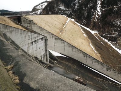
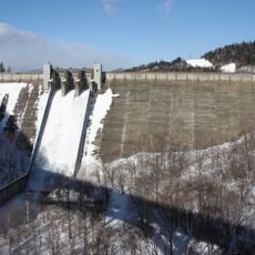
Taisetsu Dam, Rock-fill dam in Kamikawa, Japan

Taisetsu Dam is a rock-fill dam that spans 440 meters across the Ishikari River in Hokkaido, rising 86.5 meters high. The structure holds back a large body of water surrounded by mountain terrain, creating a significant reservoir in the region.

Construction began in 1965 following Typhoon Toyamaru, which devastated the Kamikawa Basin in 1954 and caused severe flooding. This project developed as a response to prevent such natural disasters from causing future damage.

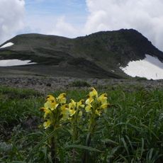
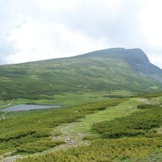
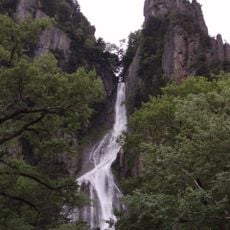
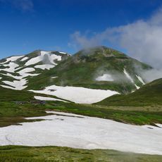
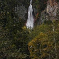
The reservoir serves as a gathering place where local people fish and enjoy the mountain scenery throughout the year. The water and surrounding landscape have become part of how residents connect with nature in this part of Hokkaido.

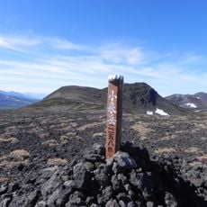
The dam and reservoir are accessible from land, with viewpoints where visitors can observe the structure and surrounding landscape. Plan your visit during warmer months when paths are safest and weather is more stable.

The dam was one of the early major infrastructure projects in this part of Hokkaido, combining disaster prevention with water management for farming. It represents how engineering solutions shaped rural development in the 1960s and onwards.

The community of curious travelers

AroundUs brings together thousands of curated places, local tips, and hidden gems, enriched daily by 60,000 contributors worldwide.

Start exploring
Location
Inception
1965
Height
86.5 m
Length
440 m
GPS coordinates
43.67639,143.03639
Latest update
December 11, 2025 11:00
Reviews
Share your experience

No review yet

Discussions
Start a discussion...

No discussion yet

« Taisetsu Dam - Rock-fill dam in Kamikawa, Japan » is provided by Around Us (aroundus.com). Images and texts are derived from Wikimedia project under a Creative Commons license. You are allowed to copy, distribute, and modify copies of this page, under the conditions set by the license, as long as this note is clearly visible.

Discover hidden gems everywhere you go!

From secret cafés to breathtaking viewpoints, skip the crowded tourist spots and find places that match your style. Our app makes it easy with voice search, smart filtering, route optimization, and insider tips from travelers worldwide. Download now for the complete mobile experience.

Around Us App Screenshot

A unique approach to discovering new places

Le Figaro

All the places worth exploring

France Info

A tailor-made excursion in just a few clicks

20 Minutes

Around Us
Travel Guide & Maps
Download

Send to your phone

QR Code
1

Open the camera app on your mobile.

2

Point at the QR code with your camera. A notification will appear.

3

Tap the notification to open the link.