
Mount Nagusa, Berg in Japan
Location: Wakayama
Elevation above the sea: 228.7 m
GPS coordinates: 34.18432,135.19535
Latest update: March 13, 2025 06:00
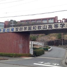
Chiben Gakuen Wakayama Elementary, Junior High, and High School
1.9 km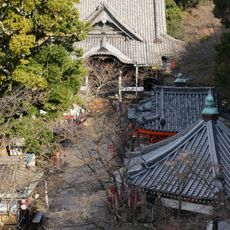
Kimii-dera
499 m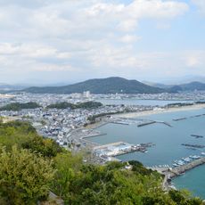
Wakaura
2.7 km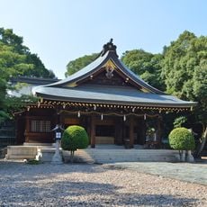
Kamayama Shrine
2 km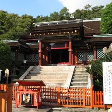
Kishū Tōshō-gū
2.9 km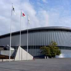
和歌山ビッグホエール
4.1 km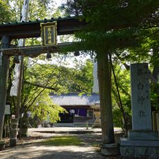
Fujishiro Shrine
4.6 km
Saika Castle
2.3 km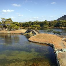
Yōsui-en
4.1 km
Onzansō-en
2.9 km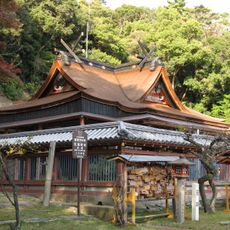
Wakaura Tenmangū
3 km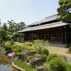
Rokusan-en
4.2 km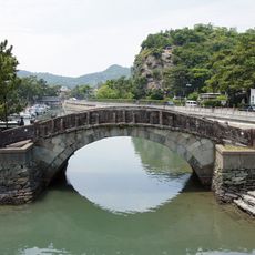
Furōbashi
2.1 km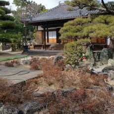
Muryōkō-ji
4.4 km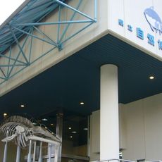
Wakayama Prefectural Museum of Natural History
2.9 km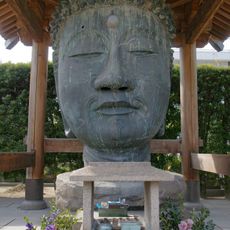
Muryōkō-ji no Obotoke
4.4 km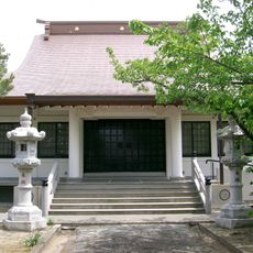
Hōon-ji
4.7 km
和歌山Big Wave
4.2 km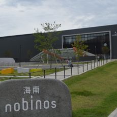
Kainan nobinos
3.5 km
Kinokuni Shigakukan
3.5 km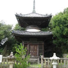
Kaizen-in
2 km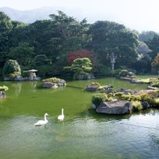
Chōkyū-tei
4.3 km
Eun-ji
4.5 km
Wakanoura Art Cube
2.1 km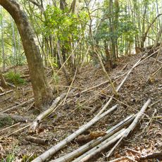
Inbe Hachiman-yama Kofun
4.2 km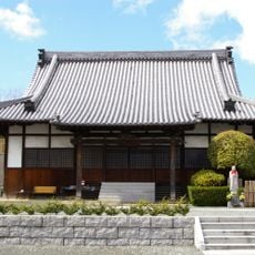
Sango-ji
4.6 km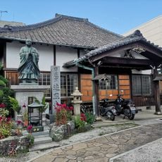
遍照寺
4.7 km
Porto Europa
3.8 kmReviews
Visited this place? Tap the stars to rate it and share your experience / photos with the community! Try now! You can cancel it anytime.
Discover hidden gems everywhere you go!
From secret cafés to breathtaking viewpoints, skip the crowded tourist spots and find places that match your style. Our app makes it easy with voice search, smart filtering, route optimization, and insider tips from travelers worldwide. Download now for the complete mobile experience.

A unique approach to discovering new places❞
— Le Figaro
All the places worth exploring❞
— France Info
A tailor-made excursion in just a few clicks❞
— 20 Minutes