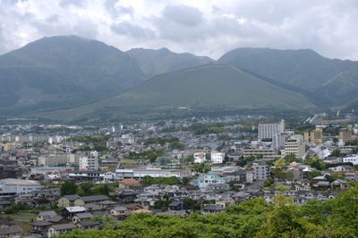
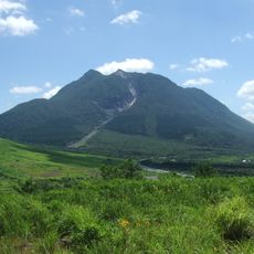
Mount Ōhira, Mountain summit in Beppu, Japan
Mount Ōhira is a mountain summit in Beppu, Japan, known for two rock formations near the top called Shishi Iwa and Ebōshi Iwa. The summit sits above a mix of cedar and broadleaf forest that covers most of the slopes below.
In the 12th year of the Meiji era, surveyors placed a triangulation point at the summit as part of a national mapping project. This marker was one of many set across Japan to build accurate maps of the country during that period.
The Hosono district maintains a spring celebration called Takayama Unkai, where people gather to ask for protection over their community. This observance reflects the residents' deep connection to the surrounding mountains.
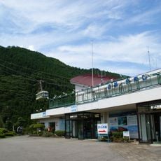
The trail starts from the Nakano-hira parking area and passes through forest before reaching the top, which takes roughly an hour and a half. Sturdy footwear is a good idea, and a small light source is useful if you head out early in the morning or later in the day.
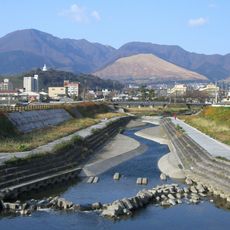
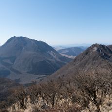
From the top, you can see Mount Koshi-dake, Mount Goshoyama, and the full line of the Asahi mountain range spread out on the horizon. Many visitors are surprised by how far the view reaches on a clear day, revealing terrain that is not obvious from below.
The community of curious travelers
AroundUs brings together thousands of curated places, local tips, and hidden gems, enriched daily by 60,000 contributors worldwide.