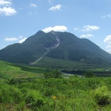
Tsurumidake and Garandake, Volcanic mountains in Oita Prefecture, Japan
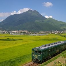
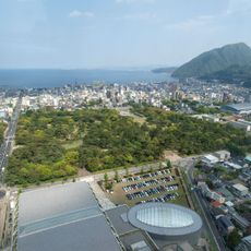
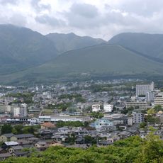
Tsurumidake and Garandake form a volcanic mountain group in Oita Prefecture in southwestern Japan, with the highest peak at 1,584 meters (5,197 feet). The group sits within Aso Kuju National Park and is made up of several connected peaks linked by hiking trails.
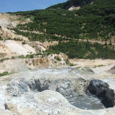
The volcanic group last erupted in 867, with activity recorded from March through May of that year, leaving a mark on the local landscape. The mountains have been quiet since then, though they are still classified as active volcanoes.
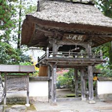
The name Tsurumidake contains the Japanese word for crane, a bird long associated with good fortune and long life in Japanese tradition. Near the summit, a small shrine marks the peak as a place that people visit not only for the hike but also for its spiritual meaning.
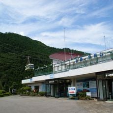
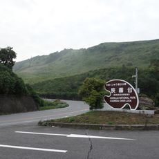
Several trailheads give access to the mountains, and a cable car runs to higher ground near the summit of Tsurumidake for those who prefer a shorter walk. It is worth checking whether the cable car is running before you go, as it can be closed in bad weather.
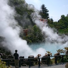
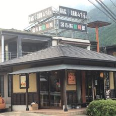
The volcanic rock beneath the mountains feeds some of the most active hot spring areas in Oita, a prefecture known across Japan for its thermal waters. The same geothermal energy that shaped these peaks continues to heat the springs used by visitors in the valleys below.
The community of curious travelers
AroundUs brings together thousands of curated places, local tips, and hidden gems, enriched daily by 60,000 contributors worldwide.