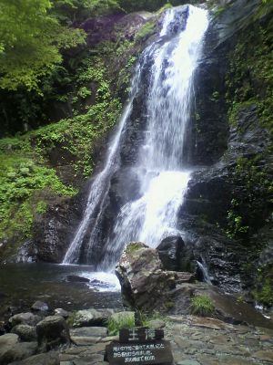
Utsue 48 Waterfalls, Natural waterfalls formation in Takayama, Japan.
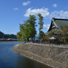
Utsue 48 Waterfalls is a series of waterfalls and cascades along a mountain stream in the forests near Takayama, in Gifu Prefecture. The stream moves through rock formations, creating pools, narrow chutes, and open falls of different shapes and sizes along its course.
Water from a spring on Mount Ibushiyama has gradually carved channels and pools into the rock over a very long period. The shapes visible along the stream today are the result of that slow, natural process working on the stone.
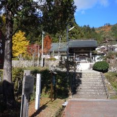
The name "48 waterfalls" is a traditional Japanese way of expressing abundance rather than an exact count. As you walk the path, you move between narrow gorges and open sections, and the sound of water changes noticeably from one spot to the next.
The site is easiest to reach by car from Takayama, as public transport options in this area are very limited. The path along the stream is mostly flat, but sturdy footwear is a good idea since the ground can be wet and uneven.
The largest fall, O Taki, drops about 62 feet (19 meters) into a pool enclosed by tall rock walls on both sides. In winter, ice can form on some of the smaller falls, changing the look of the stream completely and making a visit feel very different from a summer walk.
The community of curious travelers
AroundUs brings together thousands of curated places, local tips, and hidden gems, enriched daily by 60,000 contributors worldwide.