
Hirata-chō, Neighborhoods in Kagoshima, Kagoshima prefecture, Japan.
Location: Kagoshima
Inception: February 2, 2004
Shares border with: Irisa-chō, Naoki-chō, Yotsumoto-chō, Haruyama-chō, 吹上町与倉, Fukiage-chō Nagayoshi
GPS coordinates: 31.54711,130.43133
Latest update: March 8, 2025 05:39
Kagoshima City Hirakawa Zoo
11.4 km
10th Regional Coast Guard Headquarters
11.2 km
九州旅客鐵道鹿兒島支社
11.1 km
Kagoshima central tower
11.3 km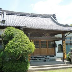
Myōenji
10.2 km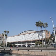
鹿兒島縣綜合體育中心體育館
11.9 km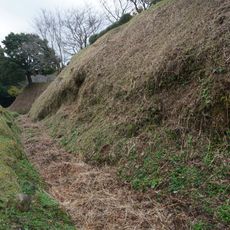
Ichiuji Castle
10 km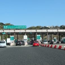
Yamada toll booth
7.1 km
Kagoshima City Library
11.8 km
Amuran
11.3 km
Nagashima Museum
10.3 km
Kagoshima Municipal Science Hall
11.8 km
鹿児島三育小学校・幼稚園
12.2 km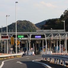
Miyama toll gate
12.3 km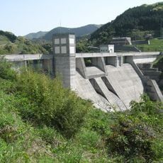
Kawanabe Dam
11.5 km
鹿児島市立錫山小中学校
6 km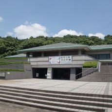
Kagoshima City Museum of Archaeology
7.7 km
Local Development Agency of Kagoshima
11.4 km
広済寺
10.2 km
Taniyama toll booth
5.7 km
Museum of the Meiji Restoration
11.8 km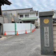
Kōshō-ji betsuin
12 km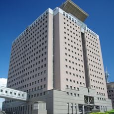
Kagoshima Prefectural Government Building
12.1 km
Izaku Castle
7.5 km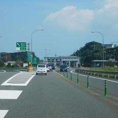
Matsumoto toll gate
7.2 km
Seikyō Daian-ji
11.5 km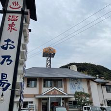
Ono-yu
11.5 km
Nishi Hongan-ji Take-shucchōjo
11.4 kmReviews
Visited this place? Tap the stars to rate it and share your experience / photos with the community! Try now! You can cancel it anytime.
Discover hidden gems everywhere you go!
From secret cafés to breathtaking viewpoints, skip the crowded tourist spots and find places that match your style. Our app makes it easy with voice search, smart filtering, route optimization, and insider tips from travelers worldwide. Download now for the complete mobile experience.

A unique approach to discovering new places❞
— Le Figaro
All the places worth exploring❞
— France Info
A tailor-made excursion in just a few clicks❞
— 20 Minutes